Bauerngolf
Location: Kall
Website: https://www.eifelfarm.de/Bauerngolf
Website: https://eifelfarm.de/Bauerngolf
GPS coordinates: 50.52493,6.60690
Latest update: November 19, 2025 13:33
Eifel Aqueduct
1.4 km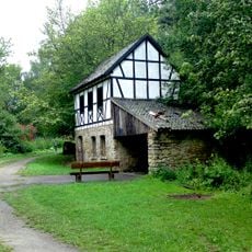
Grüner Pütz
1.4 km
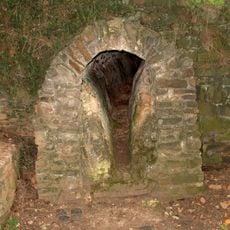
Burg Dalbenden
2.4 km
St. Dionysius Keldenich
2.1 km
Rummerschlegel
1.8 km
Weyrer Wald und Hahnenberg
1.8 km
Auen und Hänge an Urft und Gillesbach
2.4 km
Urfttal mit Seitentälern nördlich und westlich von Nettersheim
1.8 km
LSG-Hochflaeche der Soeternicher Kalkmulde oestlich Nettersheim
2.5 km
Daubental
1.1 km
Geistal
1 km
Tanzberg
2.2 km
Weyerer Wald
1.9 km
Urfter Mühle
2.5 km
Tanzberg
2.4 km
Römische Straße
1.9 km
Scenic viewpoint
2.3 km
Scenic viewpoint
2.4 km
Hermesberg
2.2 km
Wayside cross
2.4 km
Archaeological site
657 m
Wayside cross
1.4 km
Wayside shrine
2.2 km
Memorial
2.1 km
Gedenkstein Bergleute
2.1 km
Fränkisches Grab
1.8 km
Wayside cross
1.3 km
Wayside cross
1.4 kmReviews
Visited this place? Tap the stars to rate it and share your experience / photos with the community! Try now! You can cancel it anytime.
Discover hidden gems everywhere you go!
From secret cafés to breathtaking viewpoints, skip the crowded tourist spots and find places that match your style. Our app makes it easy with voice search, smart filtering, route optimization, and insider tips from travelers worldwide. Download now for the complete mobile experience.

A unique approach to discovering new places❞
— Le Figaro
All the places worth exploring❞
— France Info
A tailor-made excursion in just a few clicks❞
— 20 Minutes