Golfplatz Bauernberg
Location: Prien am Chiemsee
GPS coordinates: 47.83013,12.32895
Latest update: November 23, 2025 01:57
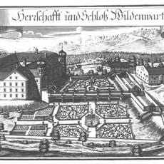
Schloss Wildenwart
1.3 km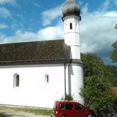
St.-Jakobus-Kirche
1.3 km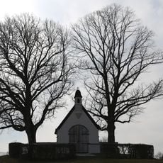
Kriegergedächtsniskapelle
1.3 km
Cultural heritage D-1-8140-0076 in Prien am Chiemsee
1.3 km
Wegkreuz
1.3 km
Cultural heritage D-1-8139-0041 in Frasdorf
1.3 km
Getreidekasten Giebing
1.4 km
Bauernhaus
455 m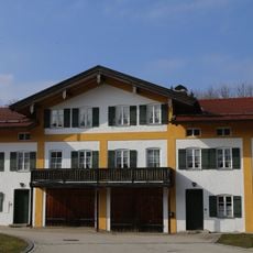
Schlossökonomie
1.4 km
Ehem. Bauernhaus
873 m
Haustüren
1.2 km
Kruzifix
885 m
Bauernhaus
1.4 km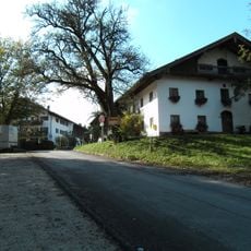
Bauernhaus
1.3 km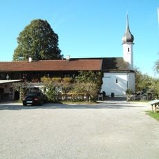
Ehem. Bauernhaus
1.3 km
Ehem. Bauernhaus
1.3 km
Ehem. Bauernhaus
670 m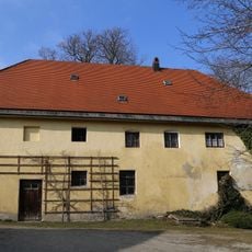
Ehem. Marstall
1.4 km
Ehem. Bauernhaus
500 m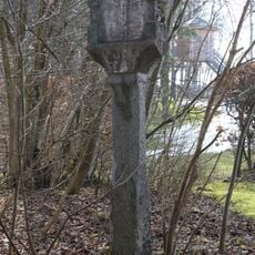
Martersäule
1.4 km
Backhaus Urschalling 8 in Prien am Chiemsee
1.3 km
Filialkirche
1.3 km
Scenic viewpoint
1.2 km
Wayside cross
1.1 km
Wayside cross
843 m
Wayside shrine, Christianity
1.3 km
Wayside cross
884 m
Wayside cross
839 mReviews
Visited this place? Tap the stars to rate it and share your experience / photos with the community! Try now! You can cancel it anytime.
Discover hidden gems everywhere you go!
From secret cafés to breathtaking viewpoints, skip the crowded tourist spots and find places that match your style. Our app makes it easy with voice search, smart filtering, route optimization, and insider tips from travelers worldwide. Download now for the complete mobile experience.

A unique approach to discovering new places❞
— Le Figaro
All the places worth exploring❞
— France Info
A tailor-made excursion in just a few clicks❞
— 20 Minutes