Cranfield Golf Course
Location: London Borough of Barking and Dagenham
GPS coordinates: 51.57694,0.14879
Latest update: November 23, 2025 22:51
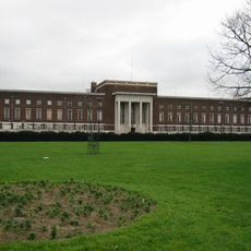
Dagenham Civic Centre
1.8 km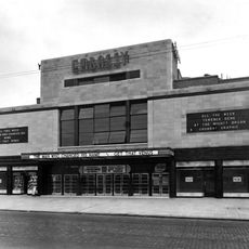
The Embassy Cinema
1.6 km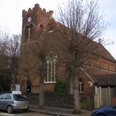
St Chad's Church, Chadwell Heath
1.1 km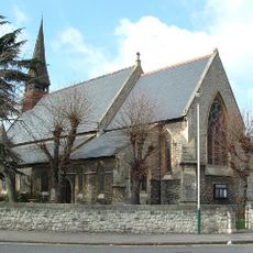
Church of St Andrew
1.9 km
Salem Chapel
1.9 km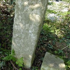
The Marks Stones (On East Side Of Road North Of Eastern Avenue, Set In A Hedge)
966 m
The Warren Stone (Approximately 250 Yards East Of The Marks Stones)
908 m
Water Pump On South Side Of Road
453 m
Anti Aircraft Site At Tq 48738975
1.1 km
Warren Farm Barn
821 m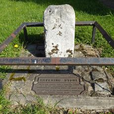
The Havering Stone (On North Side Of The Road At The Former Romford/Dagenham Borough Boundary)
430 m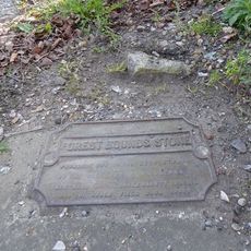
Forest Bounds Stone
571 m
Obelisk On Railway Embankment Approximately 280 Metres East Of Whalebone Bridge
812 m
Furze House Farmhouse
1.8 km
Crown Farmhouse
365 m
Bms Insurance
2.1 km
Granary To North West Of Crown Farmhouse
368 m
Whalebone Lane North
815 m
Chadwell Heath Cemetery Chapel With Entrance Gates, Piers And Railings
1.2 km
Coal Duty Boundary Marker
1.8 km
Coal Duty Boundary Post On South Side Of Road
456 m
The White House
1.6 km
Vue Romford
2.1 km
Odeon Chadwell Heath
1.6 km
Odeon Becontree
1.8 km
Vine Cottage
1.9 km
Cranfield Golf Academy Chadwell Heath (Driving Range)
505 m
Wellgate Community Farm
2 kmReviews
Visited this place? Tap the stars to rate it and share your experience / photos with the community! Try now! You can cancel it anytime.
Discover hidden gems everywhere you go!
From secret cafés to breathtaking viewpoints, skip the crowded tourist spots and find places that match your style. Our app makes it easy with voice search, smart filtering, route optimization, and insider tips from travelers worldwide. Download now for the complete mobile experience.

A unique approach to discovering new places❞
— Le Figaro
All the places worth exploring❞
— France Info
A tailor-made excursion in just a few clicks❞
— 20 Minutes