Driving Range
Location: Basingstoke and Deane
GPS coordinates: 51.28735,-1.12271
Latest update: October 8, 2024 00:20
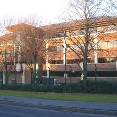
Norfolk House, Basingstoke
1.6 km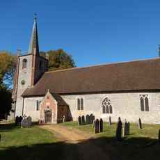
Church of St. Andrew
1.4 km
Church of All Saints
1.3 km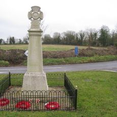
Monk Sherborne War Memorial
1.5 km
Appletree Cottage
1.5 km
6 And 8, West End
1.4 km
6,8, Vyne Road
1.5 km
Cranes Farmhouse
1.3 km
Yew Tree House
2 km
Thames Dell
1.3 km
Kiln Farmhouse
1.8 km
21 And 23, West End
1.3 km
Winklebury Camp
1.7 km
18,20, Vyne Road
1.6 km
Keyhole enclosure SE of Field Barn Farm
1.2 km
Manor Farmhouse
1.5 km
Peppercorn
1.5 km
7 And 9, West End
1.3 km
Rookery Farmhouse
1.5 km
Edernish House
1.5 km
Site revealed by air photography at Catern crossroads
1.2 km
Barn At Prewett Farm
994 m
Eastrop Cottage
1.5 km
Weybrook Cottage
1.5 km
Spring Cottage
1.2 km
Weybrook Park Golf Club
132 m
April Cottage
1.4 km
The Old Rectory
1.3 kmReviews
Visited this place? Tap the stars to rate it and share your experience / photos with the community! Try now! You can cancel it anytime.
Discover hidden gems everywhere you go!
From secret cafés to breathtaking viewpoints, skip the crowded tourist spots and find places that match your style. Our app makes it easy with voice search, smart filtering, route optimization, and insider tips from travelers worldwide. Download now for the complete mobile experience.

A unique approach to discovering new places❞
— Le Figaro
All the places worth exploring❞
— France Info
A tailor-made excursion in just a few clicks❞
— 20 Minutes