Driving Range
Location: Town of Lancaster
GPS coordinates: 42.91907,-78.64117
Latest update: November 21, 2025 04:46
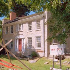
Warren Hull House
3.3 km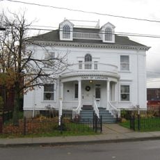
Central Avenue Historic District
3.3 km
Broadway Historic District
3.2 km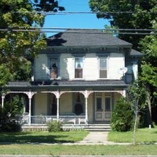
Zuidema-Idsardi House
2.9 km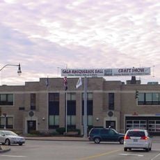
Lancaster Municipal Building
3.2 km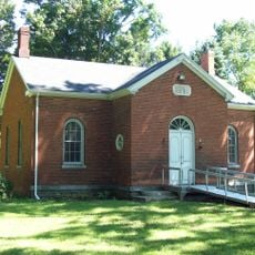
Lancaster District School No. 6
4.2 km
Dr. John J. Nowak House
3 km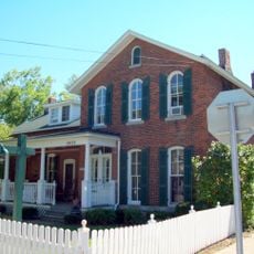
John Richardson House (Lancaster, New York)
2.8 km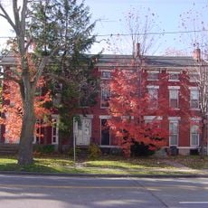
Bruce-Briggs Brick Block
3.1 km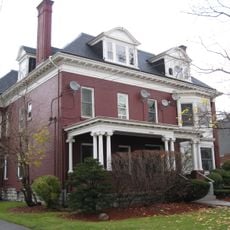
Miller-Mackey House
3.1 km
Clark-Lester House
3.1 km
Herman B. VanPeyma House
2.9 km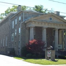
DePew Lodge No. 823, Free and Accepted Masons
3.1 km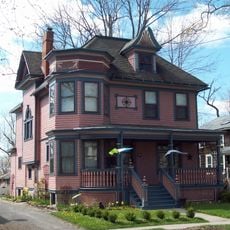
John P. Sommers House
3.2 km
Depew Theatre
3.8 km
Buffalo Tournament Club
5.8 km
Fox Valley Country Club
4.1 km
Diamond Hawk Golf Course
5.7 km
The Dome
5.7 km
Lancaster Country Club
3.5 km
Lancaster NIKE Base (Historical)
3.8 km
ATA Performing Arts Center
6.6 km
Russell J. Salvatore
5.8 km
Statue, Work of art
5.8 km
Scenic viewpoint
6.9 km
Scenic viewpoint
6.9 km
Scenic viewpoint
5.8 km
Scenic viewpoint
5.8 kmReviews
Visited this place? Tap the stars to rate it and share your experience / photos with the community! Try now! You can cancel it anytime.
Discover hidden gems everywhere you go!
From secret cafés to breathtaking viewpoints, skip the crowded tourist spots and find places that match your style. Our app makes it easy with voice search, smart filtering, route optimization, and insider tips from travelers worldwide. Download now for the complete mobile experience.

A unique approach to discovering new places❞
— Le Figaro
All the places worth exploring❞
— France Info
A tailor-made excursion in just a few clicks❞
— 20 Minutes