Fort Cherry Golf Club
Location: Mount Pleasant Township
Address: Fort Cherry Road
GPS coordinates: 40.34606,-80.27221
Latest update: December 4, 2025 23:08
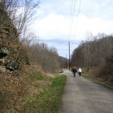
Montour Trail
4.9 km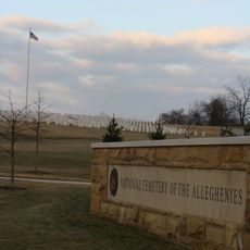
National Cemetery of the Alleghenies
10.5 km
Hillman State Park
12.6 km
Pittsburgh Botanic Garden
11.3 km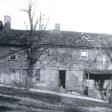
Black Horse Tavern
12.6 km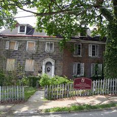
Roberts House
11.9 km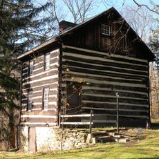
Walker-Ewing Log House
12 km
Hawthorne School
11.5 km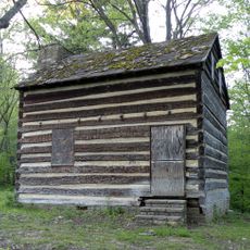
Walker-Ewing-Glass Log House
11.8 km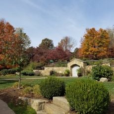
Pittsburgh Botanical Garden Welcome Center
11.6 km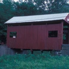
Krepps Covered Bridge
5.1 km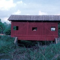
Wilson's Mill Covered Bridge
13.2 km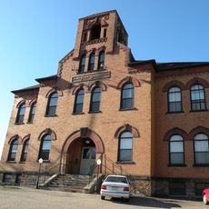
Oakdale Public School
9.5 km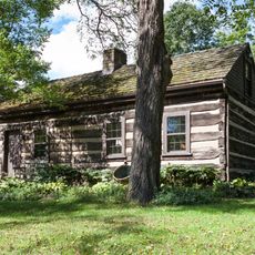
Stephenson-Campbell House
6.5 km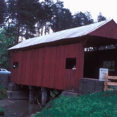
Leatherman Covered Bridge
5.1 km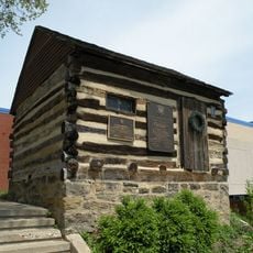
John McMillan's Log School
12 km
McDonald Trestle
2.6 km
State Game Lands Number 117
10 km
Point Pleasant
11.4 km
Valley Brook Country Club
12.7 km
Hickory Heights Golf Club
11.7 km
Quicksilver Golf Club
5.1 km
Southpointe Golf Club
10.8 km
Urban Assault
4.8 km
Canonsburg Town Park Amphitheater
11.4 km
Perry Como Statue
12.2 km
Montour Trail Railroad Trestle
2.6 km
Waterfall
12.8 kmReviews
Visited this place? Tap the stars to rate it and share your experience / photos with the community! Try now! You can cancel it anytime.
Discover hidden gems everywhere you go!
From secret cafés to breathtaking viewpoints, skip the crowded tourist spots and find places that match your style. Our app makes it easy with voice search, smart filtering, route optimization, and insider tips from travelers worldwide. Download now for the complete mobile experience.

A unique approach to discovering new places❞
— Le Figaro
All the places worth exploring❞
— France Info
A tailor-made excursion in just a few clicks❞
— 20 Minutes