Wyncote Golf Course
Location: Lower Oxford Township
GPS coordinates: 39.81406,-75.97782
Latest update: November 17, 2025 14:30

Plumpton Park Zoo
12.4 km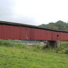
Pine Grove Covered Bridge
6.2 km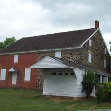
East Nottingham Friends Meetinghouse
12.6 km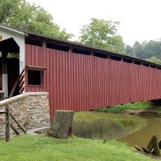
White Rock Forge Covered Bridge
9.7 km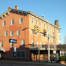
Oxford Hotel
3.2 km
Jeremiah Brown House and Mill Site
12.5 km
Andrews Bridge Historic District
6.7 km
Linton Stephens Covered Bridge
8.5 km
Rudolph and Arthur Covered Bridge
11.1 km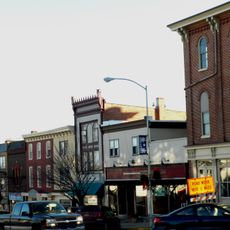
Oxford Historic District
3.2 km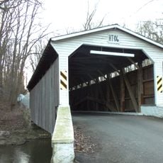
Glen Hope Covered Bridge
11.4 km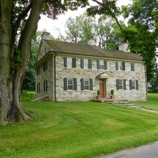
John Douglass House
6.3 km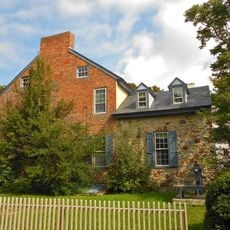
Elisha Kirk House
12.9 km
Bellbank Bridge
5.1 km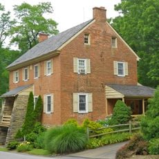
Kirks Mills Historic District
13 km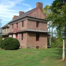
John Churchman House
11.3 km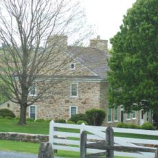
Hopewell
12.9 km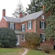
Moses Ross House
12.8 km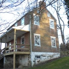
Hopewell Historic District
5.1 km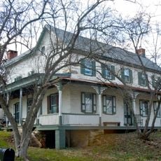
Joseph and Esther Phillips Plantation
12.5 km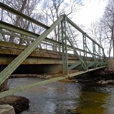
Bridge in West Fallowfield Township
7.7 km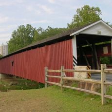
Jackson's Sawmill Covered Bridge
12.7 km
Octoraro Lake
6.4 km
State Game Lands Number 136
12.4 km
Moccasin Run Golf Course
11.1 km
Herrs Potato Chip Factory
8.4 km
Oxford Arts Alliance
3.3 km
Waterfall
8.2 kmReviews
Visited this place? Tap the stars to rate it and share your experience / photos with the community! Try now! You can cancel it anytime.
Discover hidden gems everywhere you go!
From secret cafés to breathtaking viewpoints, skip the crowded tourist spots and find places that match your style. Our app makes it easy with voice search, smart filtering, route optimization, and insider tips from travelers worldwide. Download now for the complete mobile experience.

A unique approach to discovering new places❞
— Le Figaro
All the places worth exploring❞
— France Info
A tailor-made excursion in just a few clicks❞
— 20 Minutes