Gemhalo ገምሃሎ
Location: North Western Tigray
GPS coordinates: 14.54829,37.77921
Latest update: October 25, 2025 04:07
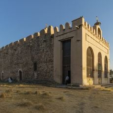
Church of Our Lady Mary of Zion
111.6 km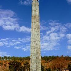
Obelisk of Axum
111.5 km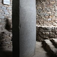
Ezana Stone
111.6 km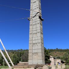
King Ezana's Stele
111.5 km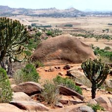
Lioness of Gobedra
108.7 km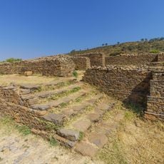
Ruins of Aksum
111.5 km
Gual Gemhalo
1.2 km
Debrekerbe (Zana)
98.7 km
Gudit Stelae Field
110.5 km
Dungur / Palace of Queen of Sheba
110.5 km
Ezana Inscription
111.6 km
ዕርዲ ማትዮስ Erdi Matios
31.9 km
Elephant ሓርማዝ
67.9 km
The nearest Highway to Border
43.2 km
Baths of Queen Sheba
111.6 km
Mohammed Gold site Widak
59.9 km
ፀሃየ ጀብጀብ
79.7 km
Northern Stelae Field
111.5 km
Hadnet
102.9 km
በናቖ
89.7 km
Scenic viewpoint
74 km
Shire Military Checkpoint
72.9 km
Dawoyba Gold Mountain
59.9 km
Terekemti
52.5 km
Mntig Adi Chindog
57 km
May Ayni FDP
104.4 km
Indabaguna FDP
79.7 km
Shire WFP Warehouse
72.1 kmReviews
Visited this place? Tap the stars to rate it and share your experience / photos with the community! Try now! You can cancel it anytime.
Discover hidden gems everywhere you go!
From secret cafés to breathtaking viewpoints, skip the crowded tourist spots and find places that match your style. Our app makes it easy with voice search, smart filtering, route optimization, and insider tips from travelers worldwide. Download now for the complete mobile experience.

A unique approach to discovering new places❞
— Le Figaro
All the places worth exploring❞
— France Info
A tailor-made excursion in just a few clicks❞
— 20 Minutes