Border Cave Archaeological SITE , Tent WHS
Location: Jozini Local Municipality
GPS coordinates: -27.02036,31.99051
Latest update: November 20, 2025 05:56
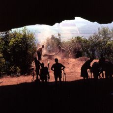
Border Cave
630 m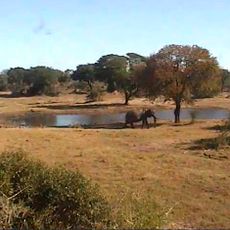
Tembe Elephant Park
42.9 km
Ndumo Game Reserve
29.6 km
Mkhaya Game Reserve
50.7 km
Royal Jozini
29.2 km
Van Eck Dam
28.3 km
Zimanga Private Game Reserve
61.7 km
Pongola Game Reserve
38.9 km
Golela Bush
38.4 km
KuMahlahla Hide
67.3 km
KwaMalibala Hide
71.1 km
Ostrich nest
39.7 km
Ndumo Viewing Tower
30.4 km
KwaMalibala Pan
71.1 km
Nkonyeni Residential Golf Estate
69.7 km
KwaJoba Cultural Village and Craft Market
66.5 km
Pongolapoort Viewpoint
44.9 km
Mapondo Viewpoint
23.2 km
Vulture Pan
69.7 km
Zimambeni Pan
48.8 km
Vukazin Pan
43.9 km
Ezinaleni Pans
44.7 km
KuMahlahla Hide
67.3 km
View over Jocini Dam
51.1 km
Scenic viewpoint
45.2 km
Mfungeni Pan
49.2 km
Scenic viewpoint
44.9 km
Ngwavuma Viewpoint
6.3 kmReviews
Visited this place? Tap the stars to rate it and share your experience / photos with the community! Try now! You can cancel it anytime.
Discover hidden gems everywhere you go!
From secret cafés to breathtaking viewpoints, skip the crowded tourist spots and find places that match your style. Our app makes it easy with voice search, smart filtering, route optimization, and insider tips from travelers worldwide. Download now for the complete mobile experience.

A unique approach to discovering new places❞
— Le Figaro
All the places worth exploring❞
— France Info
A tailor-made excursion in just a few clicks❞
— 20 Minutes