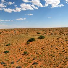
Gemsbok Waterhole
Location: Mier Local Municipality
GPS coordinates: -26.34312,20.65525
Latest update: November 8, 2025 00:39
Kieliekrankie Wilderness Camp
18.8 km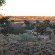
Twee Rivieren Camp
14.9 km
Kij Gamies Waterhole
24.8 km
Houmoed Waterhole
6.4 km
Rooiputs Waterhole
8.4 km
Kij Kij Waterhole
20.1 km
Gemsbokplein Waterhole
24.8 km
Houmoed Waterhole
6.4 km
Kamfersboom Waterhole
16.1 km
Monro Waterhole
9.2 km
Tier Kop Waterhole
21 km
Kij Gamies Waterhole
24.9 km
Auchterlonie Waterhole
20.7 km
Hou Moed Waterhole
6.4 km
Kij Kij Waterhole
19.7 km
Samevloeiing Waterhole
10.6 km
Gemsbokplein Waterhole
24.7 km
Leeuwdril Waterhole
6.4 km
Kij Kij Waterhole
20.1 km
Rooiputs
8.5 km
Samevloeiing
10.6 km
Tierkop Waterhole
21 km
Scenic viewpoint
18.2 km
Auchterlonie Waterhole
20.7 km
Samevloeiing
10.6 km
Kampfersboom Waterhole
16.1 km
Monro Waterhole
9.2 km
Scenic viewpoint
6.3 kmReviews
Visited this place? Tap the stars to rate it and share your experience / photos with the community! Try now! You can cancel it anytime.
Discover hidden gems everywhere you go!
From secret cafés to breathtaking viewpoints, skip the crowded tourist spots and find places that match your style. Our app makes it easy with voice search, smart filtering, route optimization, and insider tips from travelers worldwide. Download now for the complete mobile experience.

A unique approach to discovering new places❞
— Le Figaro
All the places worth exploring❞
— France Info
A tailor-made excursion in just a few clicks❞
— 20 Minutes