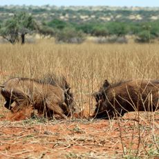
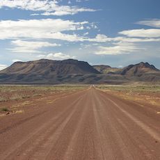
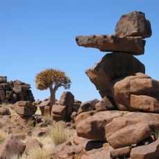
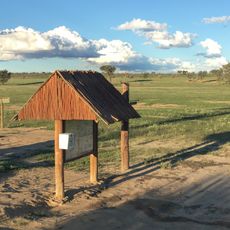
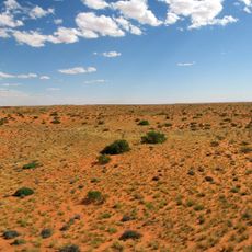
Mier Local Municipality, administrative territory in South Africa
Location: ZF Mgcawu District Municipality
Inception: December 5, 2000
Capital city: Rietfontein
GPS coordinates: -26.73333,20.26667
Latest update: April 9, 2025 13:17
Fish River Canyon
287.8 km
Kgalagadi Transfrontier Park
108.2 km
Augrabies Falls
207 km
Karas Region
213.1 km
Augrabies Falls National Park
206.9 km
Quiver Tree Forest
204 km
Tswalu Kalahari Reserve
219.6 km
Brukkaros Mountain
266.6 km
Giants' playground
200.8 km
Kalahari Gemsbok National Park
117.1 km
Union's End
220.4 km
Khomani Cultural Landscape
116.9 km
Nai-Ams Fortification
255.4 km
Eagle Monument
222.5 km
Rhenish Mission Church
213 km
Schlangkopf
238.6 km
Historical Gateways
243.4 km
Erholungsgebiet Naute
232.3 km
ǀXam and ǂKhomani heartland
116.9 km
Edward Cook's Commemorative Stone
243 km
Stone Rondavel
34.5 km
Quivertree Forest and Mesosaurus Fossiles
204 km
Hiker's Viewpoint
279.8 km
Tsabong Ecotourism camel park
235.9 km
Kieliekrankie Wilderness Camp
69.3 km
Boesmansvlei
145.5 km
Gapützpan
124.7 km
Black Pan
57.2 kmReviews
Visited this place? Tap the stars to rate it and share your experience / photos with the community! Try now! You can cancel it anytime.
Discover hidden gems everywhere you go!
From secret cafés to breathtaking viewpoints, skip the crowded tourist spots and find places that match your style. Our app makes it easy with voice search, smart filtering, route optimization, and insider tips from travelers worldwide. Download now for the complete mobile experience.
A unique approach to discovering new places❞
— Le Figaro
All the places worth exploring❞
— France Info
A tailor-made excursion in just a few clicks❞
— 20 Minutes