South Africa

Log in to your account

AroundUs is a community-driven map of interesting places, built by curious explorers like you. It grows with every review, story, and photo you share.
Connect to save your favorite spots, contribute locations, and create personalized routes.
By continuing, you accept our Terms and Conditions and our Privacy Policy
Add to collection
Map
Suggest a change
Share

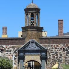
South Africa, Nation at the southern extremity of Africa.

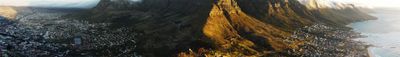
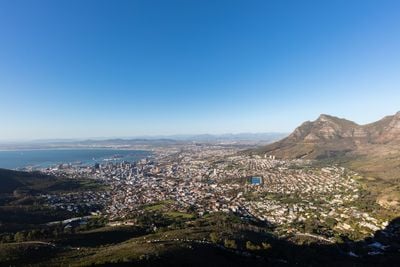
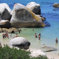
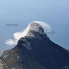
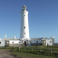
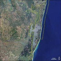
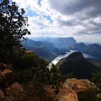
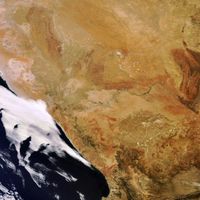
South Africa sits at the southern tip of Africa, stretching from the Indian to the Atlantic Ocean across coastal areas, mountain ranges, bushveld, and desert landscapes. The territory covers roughly 1.22 million square kilometers with climate zones ranging from subtropical regions in the east to drier areas inland.

After decades of legally enforced racial separation, the first democratic elections took place in 1994, allowing all citizens to vote. This ballot led to a new constitution and marked the transition to a parliamentary republic under the leadership of Nelson Mandela.

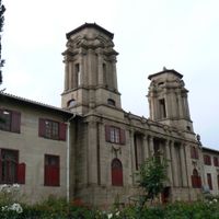
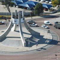
The national flag displays six colors in a Y-shaped pattern symbolizing the coming together of different communities, visible across the country since 1994. Cities and towns carry names from several African languages as well as Dutch and British heritage, visible on street signs and public spaces.

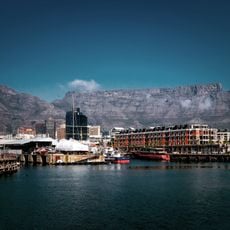
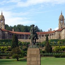
Pretoria hosts the government offices, Cape Town houses the parliament, and Bloemfontein serves as the site of the supreme court, meaning central institutions are spread across multiple cities. Travelers should note that distances between major places can be substantial and seasons in the southern hemisphere are reversed from those in the north.

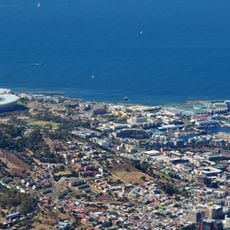
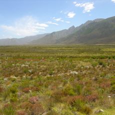
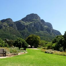
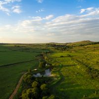
Near Cape Town grows an exceptionally dense plant area with about 9000 species in a small space, recognized as its own floral kingdom. This concentration surpasses other regions worldwide and becomes visible in the diversity along coastal slopes and valleys.

Inception: May 31, 1910

Capital city: Pretoria

Elevation above the sea: 1,037 m

Part of: Southern Africa

Shares border with: Namibia, Botswana, Lesotho, Zimbabwe, Eswatini, Mozambique

Address: South Africa

Website: https://gov.za

GPS coordinates: -28.81662,24.99164

Latest update: December 4, 2025 17:20

Photos
South Africa in full scale: from cities to wild trails

South Africa offers very different landscapes, from the windy Cape to the blue mountains of the Drakensberg. You can spend a morning on the Table Mountain, an evening watching whales in Hermanus, and in between, explore red trails, deep canyons, lagoons, and vineyards. The nature parks host large...

Reviews

Visited this place? Tap the stars to rate it and share your experience / photos with the community! Try now! You can cancel it anytime.

« South Africa - Nation at the southern extremity of Africa » is provided by Around Us (aroundus.com). Images and texts are derived from Wikimedia project under a Creative Commons license. You are allowed to copy, distribute, and modify copies of this page, under the conditions set by the license, as long as this note is clearly visible.

Discover hidden gems everywhere you go!

From secret cafés to breathtaking viewpoints, skip the crowded tourist spots and find places that match your style. Our app makes it easy with voice search, smart filtering, route optimization, and insider tips from travelers worldwide. Download now for the complete mobile experience.

Around Us App Screenshot

A unique approach to discovering new places

Le Figaro

All the places worth exploring

France Info

A tailor-made excursion in just a few clicks

20 Minutes