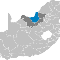
North West, Province in northwestern South Africa
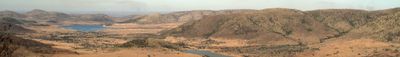
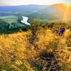
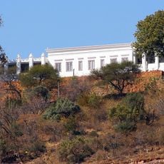
North West is a South African province in the northwestern part of the country, bordering Botswana, Limpopo, Gauteng, Free State, and the Northern Cape, and combining different landscape types from dry bushland to grassland plains. The province covers roughly 104,880 square kilometers and is divided into four administrative districts, with the larger towns of Mahikeng, Rustenburg, and Klerksdorp serving as regional centers.
The province was formed in 1994 after the end of apartheid by merging parts of the former Cape Province, Transvaal, and the Bophuthatswana homeland. The reorganization aimed to overcome the fragmented administration and create a single regional government for an area that had previously been split into numerous separate administrative units.
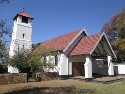
Most residents speak Setswana or Afrikaans in daily life, and many place names derive from Tswana words that refer to geographic features or past events. In rural areas you can still see traditional rondavel homes with round mud walls and thatched roofs standing next to modern brick buildings, showing the different building phases of the region.
The region suits visitors who are comfortable driving longer distances, as the gaps between settlements are often considerable and public transport remains limited. Anyone exploring the rural areas should carry supplies and water, because fuel stations and shops outside the towns are less frequent.
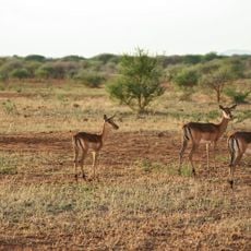
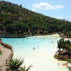
The Sun City complex lies in the eastern part and attracts many visitors who come for the artificial entertainment world of hotels, casinos, and a theme park. The region also hosts Pilanesberg National Park, where you can go on safari without traveling all the way to Kruger, as the reserve sits inside an extinct volcanic crater.
The community of curious travelers
AroundUs brings together thousands of curated places, local tips, and hidden gems, enriched daily by 60,000 contributors worldwide.