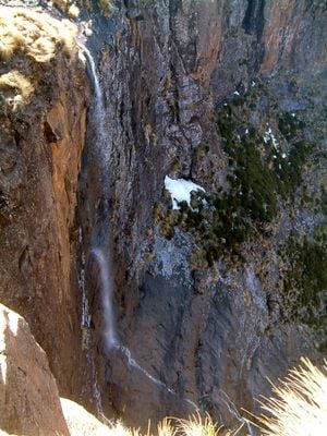
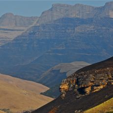
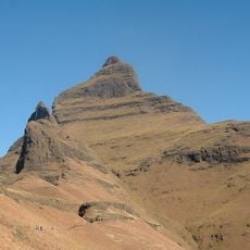
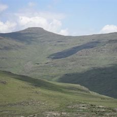
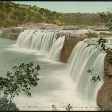
Tugela Falls, Waterfall in Drakensberg Mountains, South Africa.
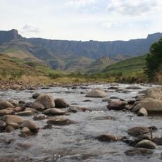
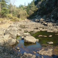
Tugela Falls is a waterfall in the Drakensberg Mountains that plunges over a steep escarpment in multiple stages. The water drops across different levels, creating a series of cascades as it flows down the mountainside.
The name comes from a local language and refers to the sudden and powerful nature of the water's descent. People in the region have long recognized the river's fierce character as it drops from the plateau.
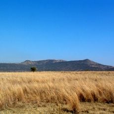
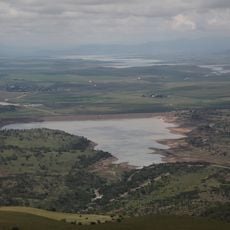
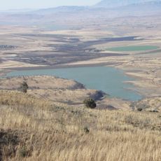
The waterfall holds meaning for local communities who have lived in this region for generations and recognize it in their traditions and stories. Visitors walking here encounter a landscape that has always mattered to the people who call it home.
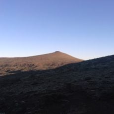
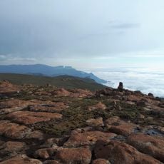
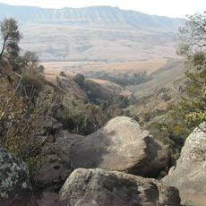
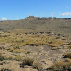
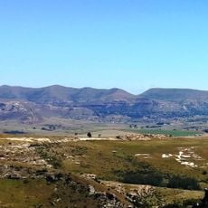
Two hiking routes reach this location: a demanding trail from The Sentinel car park and an easier path through Tugela Gorge starting from Royal Natal National Park. Timing your visit matters, as weather conditions on the exposed plateau can change quickly.
During winter months, the water often freezes and forms massive ice structures along the rock face. These glittering formations completely transform the landscape for a brief period.
Location: KwaZulu-Natal
Elevation above the sea: 2,925 m
Height: 411 m
Width: 15 m
Part of: Tugela River
GPS coordinates: -28.75227,28.89462
Latest update: December 12, 2025 18:24
Waterfalls draw you in through your senses. You hear the roar of falling water, feel the mist on your skin, and watch light dance across the spray. Many of the most powerful examples are found in places that stay relatively untouched, where reaching them is half the reward. These destinations give...
Thabana Ntlenyana
87.6 km
Mafadi
67.6 km
Amphitheatre
2.6 km
Maloti-Drakensberg Park
93.2 km
UKhahlamba / Drakensberg Park
94.3 km
Royal Natal National Park
6.8 km
Giant's Castle
87.5 km
Mont-Aux-Sources
3.1 km
Champagne Castle
57 km
Cathedral Peak
30.2 km
Sandstone Estates
87.6 km
Spion Kop
62 km
Sterkfontein Dam Nature Reserve
41.5 km
Spion Kop Battlefield Memorials
61.8 km
Spioenkop Dam Nature Reserve
61.5 km
Llandaff Oratory
63.1 km
Popple Peak
72.8 km
Retief Rock
34.6 km
Cathkin Peak
57.3 km
Moolmanshoek Private Game Reserve
88.5 km
Riserva naturale di Spioenkop
57.3 km
Hart's Hill Falls
92.5 km
Woodstock Dam Reservoir
30.4 km
Kilburn Reservoir
26.9 km
Pretorius Kloof
80.9 km
Love Lions Alive Sanctuary
55 km
Clarens Village Nature Reserve
55.5 km
Meiringskloof
67.5 kmVisited this place? Tap the stars to rate it and share your experience / photos with the community! Try now! You can cancel it anytime.
Discover hidden gems everywhere you go!
From secret cafés to breathtaking viewpoints, skip the crowded tourist spots and find places that match your style. Our app makes it easy with voice search, smart filtering, route optimization, and insider tips from travelers worldwide. Download now for the complete mobile experience.
A unique approach to discovering new places❞
— Le Figaro
All the places worth exploring❞
— France Info
A tailor-made excursion in just a few clicks❞
— 20 Minutes