KwaZulu-Natal

Log in to your account

AroundUs is a community-driven map of interesting places, built by curious explorers like you. It grows with every review, story, and photo you share.
Connect to save your favorite spots, contribute locations, and create personalized routes.
Continue with Google
Continue with Apple
Continue with X
Continue with Facebook
Continue with email
By continuing, you accept our Terms and Conditions and our Privacy Policy
Create an account
Add to collection
Map
Suggest a change
Share

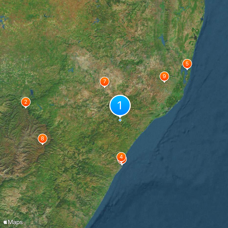
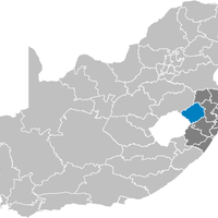
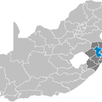
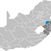
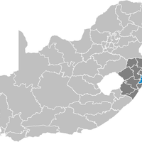
KwaZulu-Natal, Administrative division in southeastern South Africa

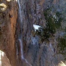
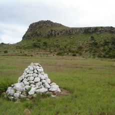
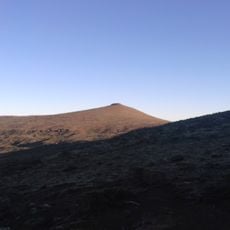
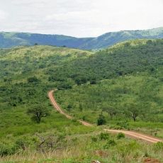
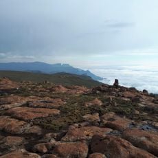
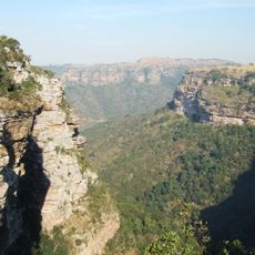
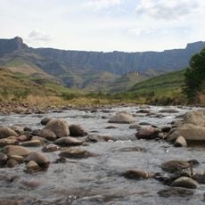
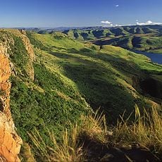
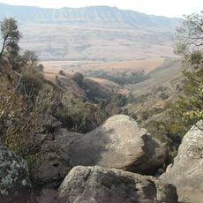
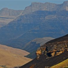
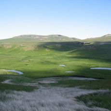
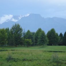
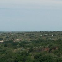
KwaZulu-Natal is a province in southeastern South Africa that stretches from the Indian Ocean shore to the Drakensberg range. Topography includes subtropical beaches, central Midlands plateau, and mountain regions rising above 3,300 meters.

The province was created in 1994 when the government merged the Zulu homeland KwaZulu with Natal Province, designating Pietermaritzburg as capital. This reorganization followed the end of apartheid and the shift to democratic governance.

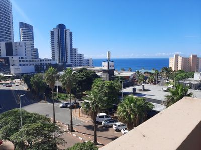
Zulu culture shapes daily life here, from handcraft to music traditions, spoken in most villages and neighborhoods. Indian communities bring a rich culinary and religious tradition, especially visible in Durban and surrounding coastal towns.

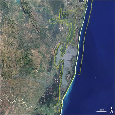
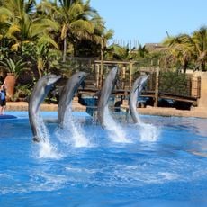
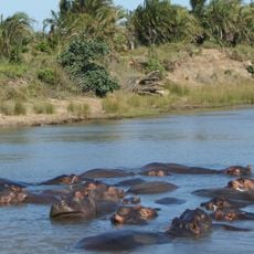
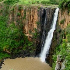
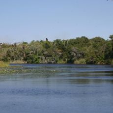
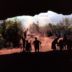
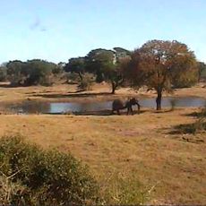
Two World Heritage Sites, iSimangaliso Wetland Park and uKhahlamba Drakensberg Park, offer wide areas for wildlife observation and hiking. Coastal towns such as Durban suit beach visits year-round, while mountains turn cool and foggy during South African winter.

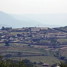
This area contains the Ingonyama Trust system, managed by the Zulu monarchy, which oversees wide tracts of land under traditional leadership. This parallel system alongside state administration allows older land tenure structures to continue for many communities.

Location: South Africa

Inception: April 27, 1994

Capital city: Pietermaritzburg

Elevation above the sea: 1,276 m

Reference: KZN

Shares border with: Mpumalanga, Shiselweni Region, Lubombo Region, Maputo Province, Mokhotlong District, Thaba-Tseka District, Qacha's Nek District, Eastern Cape, Free State

Address: KwaZulu-Natal, South Africa

Website: https://kwazulunatal.gov.za

GPS coordinates: -29.00000,31.00000

Latest update: December 14, 2025 21:32

Photos
Reviews

Visited this place? Tap the stars to rate it and share your experience / photos with the community! Try now! You can cancel it anytime.

« KwaZulu-Natal - Administrative division in southeastern South Africa » is provided by Around Us (aroundus.com). Images and texts are derived from Wikimedia project under a Creative Commons license. You are allowed to copy, distribute, and modify copies of this page, under the conditions set by the license, as long as this note is clearly visible.

Discover hidden gems everywhere you go!

From secret cafés to breathtaking viewpoints, skip the crowded tourist spots and find places that match your style. Our app makes it easy with voice search, smart filtering, route optimization, and insider tips from travelers worldwide. Download now for the complete mobile experience.

Around Us App Screenshot

A unique approach to discovering new places

Le Figaro

All the places worth exploring

France Info

A tailor-made excursion in just a few clicks

20 Minutes