Enable Location

We need your location to show you interesting places around you

Discover nearby places

Find interesting locations and hidden gems around you

Precise directions

Get accurate directions and distances to places

Your location is never shared with other users. It's only used when you tap the location button.

Umkhanyakude District Municipality

Log in to your account

Start exploring — it's free

Trusted by 62,033 travelers worldwide

Continue with Google
Continue with Apple
or

We will send you a code to connect

By continuing, you accept our Terms and Conditions and our Privacy Policy

Check your inbox

We've sent a pincode in your inbox. Please enter the code below.

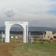
Umkhanyakude District Municipality, District municipality in KwaZulu-Natal, South Africa.

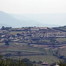
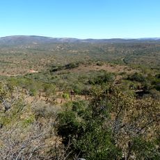
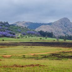
Umkhanyakude District Municipality is an administrative division in northern KwaZulu-Natal that spans a large territory bordering Eswatini and Mozambique. The region comprises four local municipalities that oversee various settlements and rural areas with different geographic and ecological characteristics.

The district was established on December 5, 2000, during South Africa's major restructuring of local government administration. This reorganization aimed to improve administrative efficiency and service delivery in remote and underserved areas.

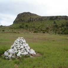
The name comes from the Acacia Xanthophloea fever tree and means "that which shows light from afar" in Zulu, reflecting the local community's deep connection to the natural landscape. Visitors can see how traditional knowledge and the environment continue to shape daily life in the region.

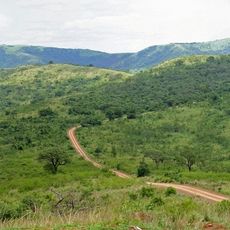
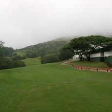
The region is managed by four local municipalities: uMhlabuyalingana, Jozini, Big 5 Hlabisa, and Inkosi uMtubatuba, each covering different areas with varying service infrastructure. Travelers should be aware that some areas may have challenging road conditions, so checking local conditions before traveling is advisable.

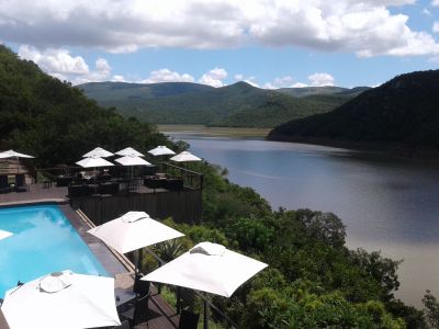
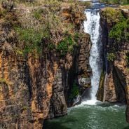
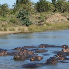
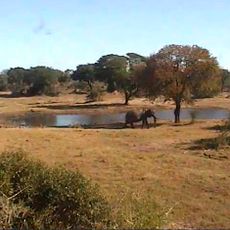
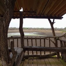
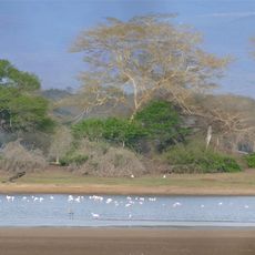
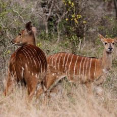
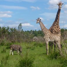
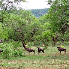
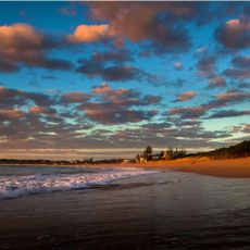
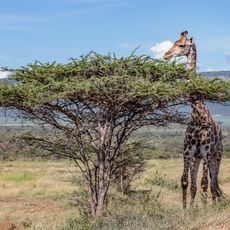
The territory encompasses Isimangaliso Wetland Park, a large protected area featuring coastal lagoons and multiple ecosystems. This park is home to diverse wildlife populations, including significant seabird colonies that attract researchers and nature enthusiasts.

The community of curious travelers

AroundUs brings together thousands of curated places, local tips, and hidden gems, enriched daily by 60,000 contributors worldwide.

Start exploring
Location
Inception
December 5, 2000
Elevation above the sea
73 m
Address
uMkhanyakude District Municipality, South Africa
GPS coordinates
-27.61667,32.03333
Latest update
December 6, 2025 16:04
South Africa in full scale: from cities to wild trails

South Africa offers very different landscapes, from the windy Cape to the blue mountains of the Drakensberg. You can spend a morning on the Table Mountain, an evening watching whales in Hermanus, and in between, explore red trails, deep canyons, lagoons, and vineyards. The nature parks host large...

« Umkhanyakude District Municipality - District municipality in KwaZulu-Natal, South Africa » is provided by Around Us (aroundus.com). Images and texts are derived from Wikimedia project under a Creative Commons license. You are allowed to copy, distribute, and modify copies of this page, under the conditions set by the license, as long as this note is clearly visible.

Discover hidden gems everywhere you go!

From secret cafés to breathtaking viewpoints, skip the crowded tourist spots and find places that match your style. Our app makes it easy with voice search, smart filtering, route optimization, and insider tips from travelers worldwide. Download now for the complete mobile experience.

Around Us App Screenshot

A unique approach to discovering new places

Le Figaro

All the places worth exploring

France Info

A tailor-made excursion in just a few clicks

20 Minutes

Around Us
Travel Guide & Maps
Download

Send to your phone

QR Code
1

Open the camera app on your mobile.

2

Point at the QR code with your camera. A notification will appear.

3

Tap the notification to open the link.