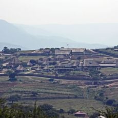
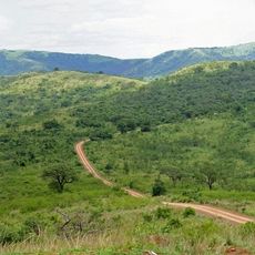
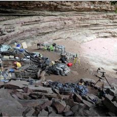
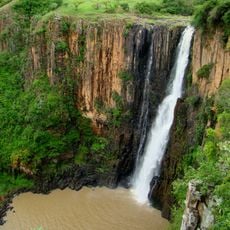
Isandlwana, Isolated hill in KwaZulu-Natal, South Africa
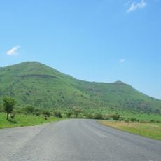
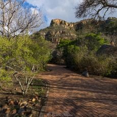
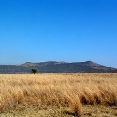
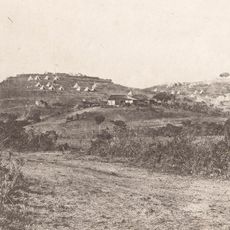
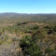
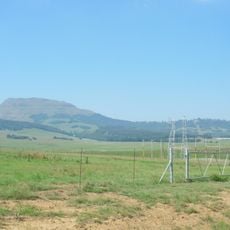
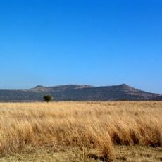
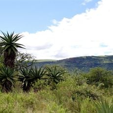
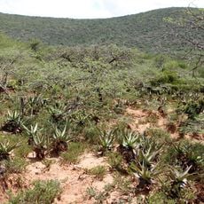
Isandlwana is an isolated hill rising about 169 km north-northwest of Durban in KwaZulu-Natal, South Africa. Its flat summit is a long, nearly level ridge of pale brownish-grey sandstone broken by vertical cliffs and blocky buttresses, with smooth grassy lower slopes dotted with bushes and small trees. It stands behind a flat grassy plain, 9.7 km east of Rorke's Drift ford on the Buffalo River.
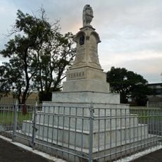
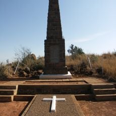
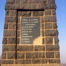
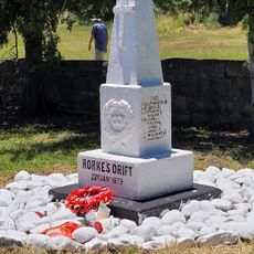
On 22 January 1879, about 22,000 Zulu warriors under Ntshingwayo kaMahole Khoza defeated a British and African contingent of roughly 1,750 troops at the foot of Isandlwana, in one of the opening engagements of the Anglo-Zulu War. It was one of the worst defeats suffered by the British Army in the Victorian era. The hill rises 9.7 km east of Rorke's Drift, a ford on the Buffalo River.
Zulu speakers named the hill for its resemblance to the abomasum, the second stomach of a cow; older spellings include Isandhlwana and Isandula. The Zulu pronunciation is [ísanˈɮwáːna]. The name is the hill's own, given before the 1879 battle took it.
Isandlwana lies 169 km north-northwest of Durban and 9.7 km due east of Rorke's Drift, the Buffalo River ford; the two battlefields are often visited together. The hill stands on open grassland, so carry water and sun protection, and allow time to walk the slope below the cliff band.
The name Isandlwana means "abomasum", the second stomach of a cow, because the hill's shape reminded the Zulus of it. Older spellings include Isandhlwana and Isandula. The hill rises 9.7 km east of Rorke's Drift, the Buffalo River ford where 150 British soldiers held off some 4,000 Zulu fighters the same year.
The community of curious travelers
AroundUs brings together thousands of curated places, local tips, and hidden gems, enriched daily by 92,851 contributors worldwide.