Mont-Aux-Sources, Mountain summit in Drakensberg Range, Lesotho
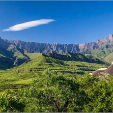
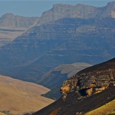
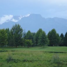
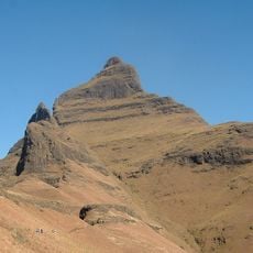
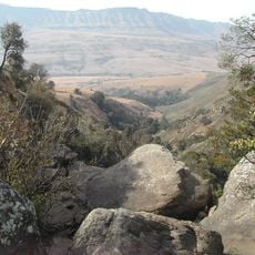
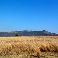
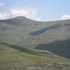
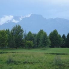
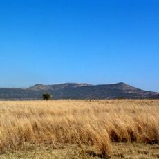
Mont-Aux-Sources is a summit in the Drakensberg Range that rises to 3,328 meters above sea level. The mountain consists of basalt and sandstone layers shaped by geological forces over millions of years.
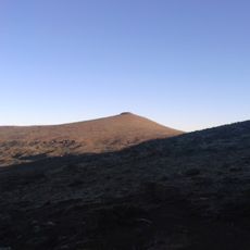
French missionary Thomas Arbousset named the massif Mont-aux-Sources, "fountains mountain", when he visited the region in 1836, because several major rivers rise on its basalt plateau. The summit itself is a flat-topped peak reaching 3,282 m, standing about 3 km back from the Drakensberg escarpment.
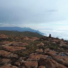
The name Mont-aux-Sources, French for "mountain of the fountains", was given by the missionary Thomas Arbousset, who visited the region in 1836; in Sesotho the mountain is called Phofung. The summit is a flat-topped basalt plateau at about 3,050 m, and the highest point lies 3 km from the Drakensberg escarpment at 3,282 m.
The climb is demanding and requires good fitness and experience at high altitude. Access is possible from both the Lesotho and South African sides, with guides and permits needed depending on your chosen route.
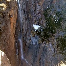
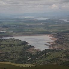
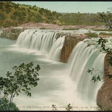
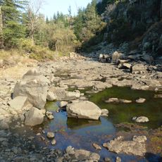
The massif feeds several separate river systems: the Tugela runs east to the Indian Ocean, while the Caledon, a main tributary of the Orange, rises here and forms the Lesotho border. The Seati (Khubedu), an Orange headwater stream, also begins just to the north. The Tugela drops 947 m in falls about 7 km away.
The community of curious travelers
AroundUs brings together thousands of curated places, local tips, and hidden gems, enriched daily by 92,919 contributors worldwide.