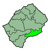
Lesotho, Mountain kingdom in Southern Africa
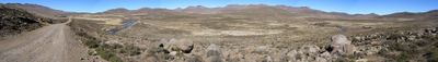
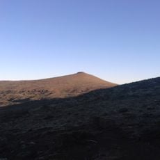
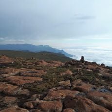
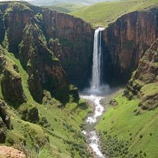
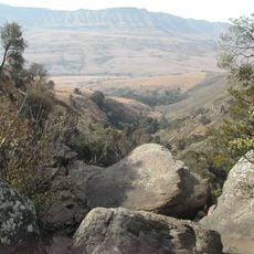
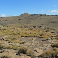
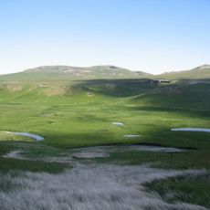
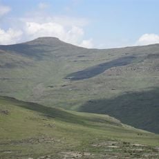
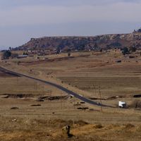
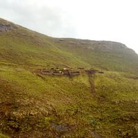
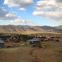
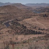
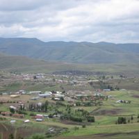
Lesotho is a highland kingdom in southern Africa, entirely enclosed by South Africa. The entire terrain sits above 1,400 meters in elevation, with mountains covering two thirds of the area and rivers flowing through deep valleys.
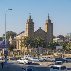
King Moshoeshoe I united different clans starting in 1824 and founded a nation that became a British protectorate in 1868 to resist territorial annexation attempts. On October 4, 1966, the kingdom gained independence and was governed as a constitutional monarchy.
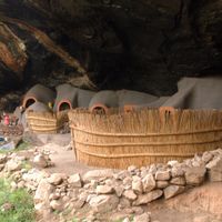
Basotho people wear traditional wool blankets called Leso, whose colors and patterns indicate regional ties and play a role in ceremonies. Young people still go through initiation rites that mark the passage into adulthood and strengthen community bonds.
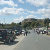
The economy depends on farming and wool exports from sheep herding as well as remittances from migrant workers in South Africa. Visitors use the Maseru border crossing and prefer traveling during summer months from November to March, as winter storms can make highland roads impassable.
Every part of the territory sits above 1,400 meters in elevation, which makes the lowest point the highest of any sovereign state worldwide. This geographic feature makes it the only country whose entire area lies at such altitude.
The community of curious travelers
AroundUs brings together thousands of curated places, local tips, and hidden gems, enriched daily by 60,000 contributors worldwide.