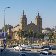
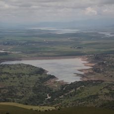
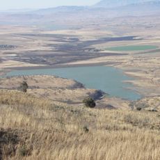
Berea District, Administrative district in western Lesotho
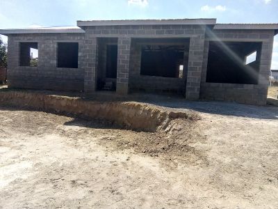
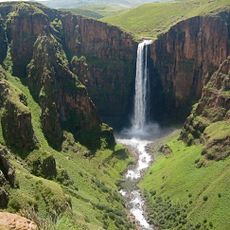
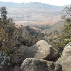
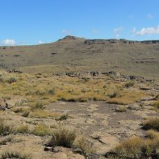
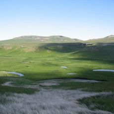
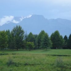
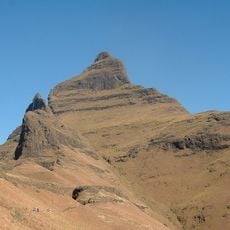
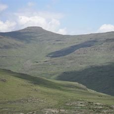
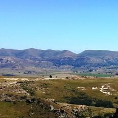
Berea District is an administrative region in western Lesotho that covers hilly highland terrain along the country's border. The area is organized into nine community councils responsible for local governance and managing daily affairs across scattered settlements.
This district was established as part of Lesotho's administrative framework and represents one of the country's main territorial divisions. Its development reflects the broader organization of local governance structures that have shaped settlement patterns over decades.
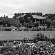
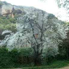
The Basotho people here speak Sesotho and practice traditional customs that shape daily life in villages and towns throughout the region. You will notice these traditions reflected in local festivals, clothing styles, and the way communities gather for important events.
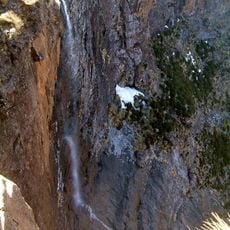
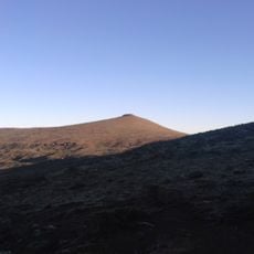
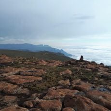
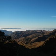
This highland region has significant elevation changes that affect travel throughout the area. Allow extra time for movement on hilly roads and prepare for weather conditions that vary with altitude.
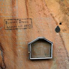
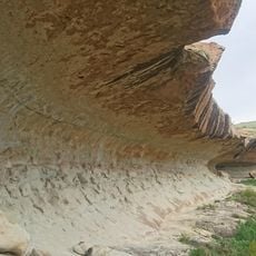
The region contains Kome Cave Dwellings, ancient housing structures that reveal how people lived here in earlier times. These sites offer a rare glimpse into traditional ways of inhabiting the land that remain standing in the modern landscape.
The community of curious travelers
AroundUs brings together thousands of curated places, local tips, and hidden gems, enriched daily by 60,000 contributors worldwide.