Eastern Cape

Log in to your account

AroundUs is a community-driven map of interesting places, built by curious explorers like you. It grows with every review, story, and photo you share.
Connect to save your favorite spots, contribute locations, and create personalized routes.
Continue with Google
Continue with Apple
Continue with X
Continue with Facebook
Continue with email
By continuing, you accept our Terms and Conditions and our Privacy Policy
Create an account
Add to collection
Map
Suggest a change
Share

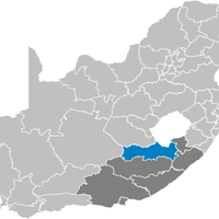
Eastern Cape, Administrative province in South Africa

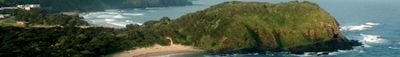
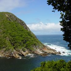
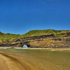
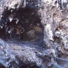
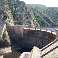
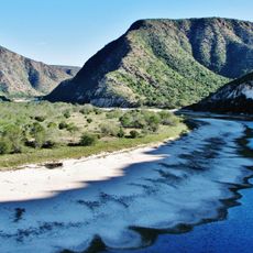
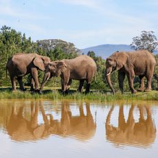
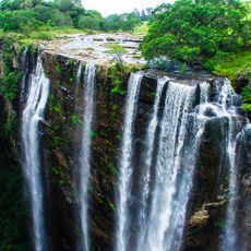
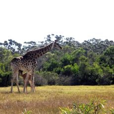
Eastern Cape is an administrative region in South Africa that stretches from coastlines along the Indian Ocean to mountain ranges and grassland in the interior. Rivers like the Great Fish cut through wide valleys, while forests and open plains spread across different climate zones.

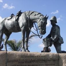
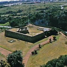
British colonial authorities controlled the region during the 19th century, leading to several frontier conflicts with Xhosa communities. After apartheid ended, the area was reorganized as a distinct administrative unit within democratic South Africa in 1994.

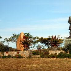
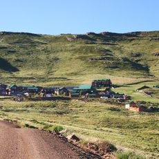
The Xhosa language shapes daily life across the region, from markets to public gatherings where traditional greetings and gestures of respect remain part of everyday interaction. In rural areas, painted round huts and homesteads follow inherited patterns of family living and communal work.

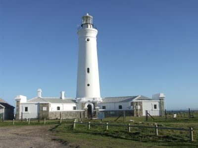
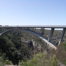
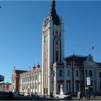
The main highway N2 links larger towns along the coast and provides access to smaller settlements inland through secondary roads. Bhisho serves as the administrative seat, while Port Elizabeth and East London form the largest urban centers.

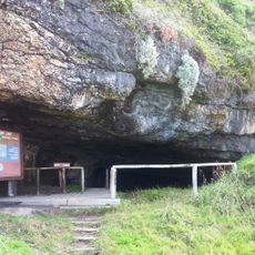
The Nelson Mandela Museum in Mthatha preserves personal items and writings from the early years of the future president, who was born in a nearby village. Visitors can also explore the rural surroundings of his childhood, which still look much the same today.

Location: South Africa

Inception: April 27, 1994

Capital city: Bhisho

Elevation above the sea: 1,125 m

Reference: EC

Shares border with: Northern Cape, Free State, Qacha's Nek District, Quthing District, Mohale's Hoek District, Western Cape, KwaZulu-Natal

Website: https://ecprov.gov.za

GPS coordinates: -32.00000,27.00000

Latest update: December 14, 2025 22:46

Photos
Reviews

Visited this place? Tap the stars to rate it and share your experience / photos with the community! Try now! You can cancel it anytime.

« Eastern Cape - Administrative province in South Africa » is provided by Around Us (aroundus.com). Images and texts are derived from Wikimedia project under a Creative Commons license. You are allowed to copy, distribute, and modify copies of this page, under the conditions set by the license, as long as this note is clearly visible.

Discover hidden gems everywhere you go!

From secret cafés to breathtaking viewpoints, skip the crowded tourist spots and find places that match your style. Our app makes it easy with voice search, smart filtering, route optimization, and insider tips from travelers worldwide. Download now for the complete mobile experience.

Around Us App Screenshot

A unique approach to discovering new places

Le Figaro

All the places worth exploring

France Info

A tailor-made excursion in just a few clicks

20 Minutes