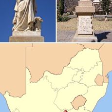
Chris Hani District Municipality, District municipality in Eastern Cape, South Africa.
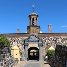
Chris Hani District Municipality is an administrative region in Eastern Cape that encompasses multiple local municipalities within its boundaries. The territory is predominantly rural in character, with Queenstown serving as the administrative hub for local government operations.
The territory was established as a formal administrative district in 2000, incorporating areas that had been designated as homelands under apartheid rule. This reorganization marked a significant shift in how the region was governed following South Africa's transition to democracy.
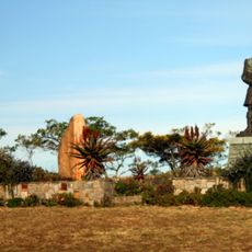
Xhosa traditions shape daily life across the territory, influencing local practices, language, and community events. You'll notice this cultural presence in the way people dress, in local markets, and in celebrations throughout the year.
The region is primarily accessible by road through Queenstown, which serves as the main entry point. Travelers should plan for rural conditions and allow extra time when moving between different communities and local areas.
The territory sits at a high elevation that shapes its climate and landscape in ways visitors might not expect. This geographic position influences agricultural practices and creates distinct seasonal patterns throughout the year.
The community of curious travelers
AroundUs brings together thousands of curated places, local tips, and hidden gems, enriched daily by 60,000 contributors worldwide.