Amathole District Municipality, District municipality in Eastern Cape, South Africa.
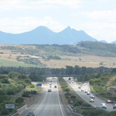
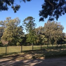
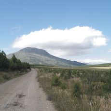
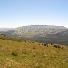
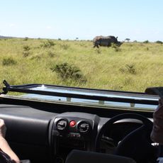
Amathole District Municipality is an administrative region in the Eastern Cape that stretches from the Fish River Mouth to the Wild Coast. The northern boundary features the Amathole Mountain Range and extensive forests that shape the landscape's character.
The region was established as an administrative entity in 2000 by consolidating several local municipalities. This reorganization was part of a broader restructuring of provincial administration in the Eastern Cape.
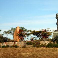
Four heritage routes named after Xhosa leaders—Maqoma, Makana, Sandile, and Phalo—mark the landscape and reflect the traditions of the region's original inhabitants. These names are woven into the local geography and serve as connections to ancestral history.
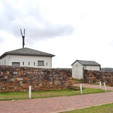
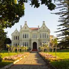
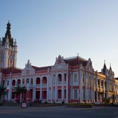
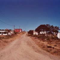
The area includes several main towns: Adelaide, Alice, Butterworth, Fort Beaufort, and Hamburg. Visitors exploring the region will find scattered community centers, routes, and landmarks that reveal the territory's organization and character.
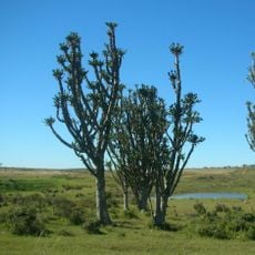
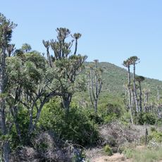
The name Amathole comes from isiXhosa and means 'calves', referencing the distinctive mountains and forests of the north. This linguistic connection reveals how local names reflect both the natural environment and indigenous heritage.
The community of curious travelers
AroundUs brings together thousands of curated places, local tips, and hidden gems, enriched daily by 60,000 contributors worldwide.