Alfred Nzo District Municipality
Alfred Nzo District Municipality, District municipality in Eastern Cape, South Africa
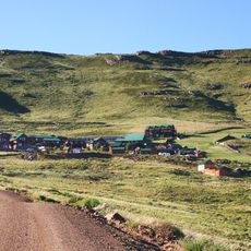
Alfred Nzo District Municipality is an administrative region in the Eastern Cape province with Mount Ayliff serving as its administrative center. The area encompasses several interconnected local communities with varying geographical features.
The district was formed in 2000 when several earlier local authorities were combined into a single administrative structure. This merger of communities created a unified administrative framework for the region.
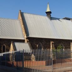
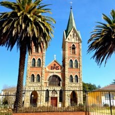
Xhosa communities across the district maintain their traditions through regular gatherings and ceremonial activities that are part of everyday life. You can see these customs reflected in how people use their spaces and interact with one another.
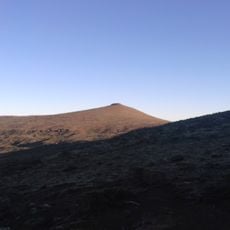
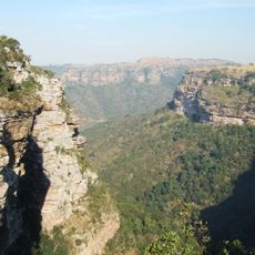
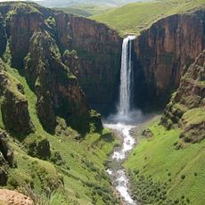
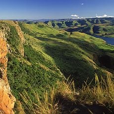
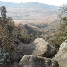
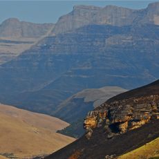
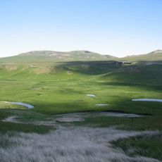
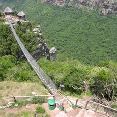
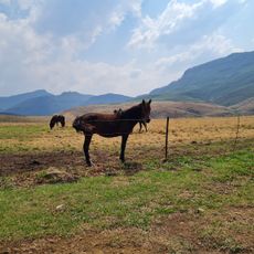
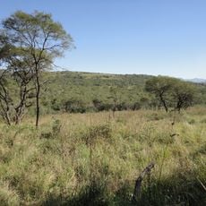
The area is mountainous and hilly, which affects infrastructure and how different locations are accessed throughout the district. Travelers should keep in mind that elevation and terrain can influence travel planning and movement around the region.
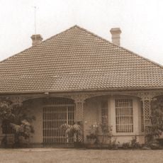
The elevation and topography across the region have historically shaped different settlement and agricultural patterns in distinct areas. This geographical variation has influenced how communities organize themselves and use their resources.
Location: Eastern Cape
Inception: December 5, 2000
Capital city: Mount Ayliff
Elevation above the sea: 1,377 m
GPS coordinates: -30.80000,29.36667
Latest update: December 10, 2025 15:52
Thabana Ntlenyana
148.6 km
Oribi Gorge
86.9 km
Hole-in-the-Wall, Eastern Cape
140.3 km
Howick Falls
168.6 km
Maletsunyane Falls
163.5 km
UKhahlamba / Drakensberg Park
156.5 km
Maloti-Drakensberg Park
148.5 km
Giant's Castle
162.3 km
Sehlabathebe National Park
102.1 km
City Oval
164.5 km
Statue of Mahatma Gandhi
165.1 km
Ben Macdhui
138 km
Magwa Falls
76.4 km
Pietermaritzburg City Hall
165.2 km
Crocworld
147.6 km
Ilanda Wilds
166.4 km
Umtamvuna Nature Reserve
79.3 km
Riverbend Crocodile Farm
91.7 km
Cathedral of the Holy Nativity, Pietermaritzburg
164.7 km
Port Shepstone Lighthouse
104.7 km
St. Patrick’s Cathedral, Kokstad
28.8 km
Mandela Capture Site
167.2 km
Shuter House
165.8 km
Oribi Gorge Nature Reserve
86.9 km
Pig & Pony
106.3 km
San Lameer Golf Club
90.1 km
Bisley Valley Nature Reserve
160.6 km
Kamberg Nature Reserve
159.4 kmVisited this place? Tap the stars to rate it and share your experience / photos with the community! Try now! You can cancel it anytime.
Discover hidden gems everywhere you go!
From secret cafés to breathtaking viewpoints, skip the crowded tourist spots and find places that match your style. Our app makes it easy with voice search, smart filtering, route optimization, and insider tips from travelers worldwide. Download now for the complete mobile experience.
A unique approach to discovering new places❞
— Le Figaro
All the places worth exploring❞
— France Info
A tailor-made excursion in just a few clicks❞
— 20 Minutes