Enable Location

We need your location to show you interesting places around you

Discover nearby places

Find interesting locations and hidden gems around you

Precise directions

Get accurate directions and distances to places

Your location is never shared with other users. It's only used when you tap the location button.

Free State

Log in to your account

Start exploring — it's free

Trusted by 62,015 travelers worldwide

Continue with Google
Continue with Apple
or

We will send you a code to connect

By continuing, you accept our Terms and Conditions and our Privacy Policy

Check your inbox

We've sent a pincode in your inbox. Please enter the code below.

Free State, Province in central South Africa.

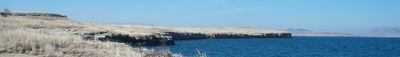
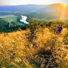
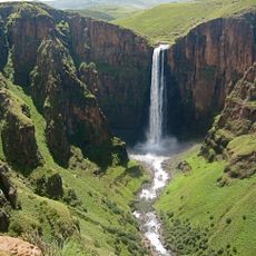
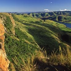
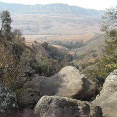
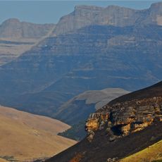
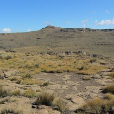
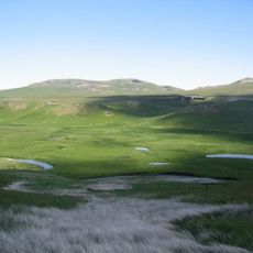
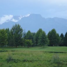
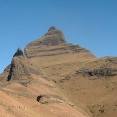
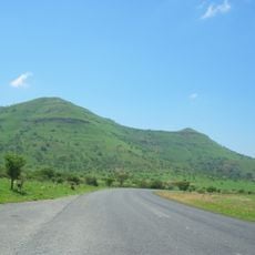
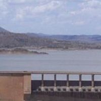
Free State is a province in central South Africa that spreads across wide grasslands, mountain formations, and agricultural land. The region sits on a high plateau marked by gentle hills and open horizons.

The area was an independent Boer republic from 1854, holding its ground between British territories and other African lands. After the Boer War and further political shifts, it became a South African province in 1994.

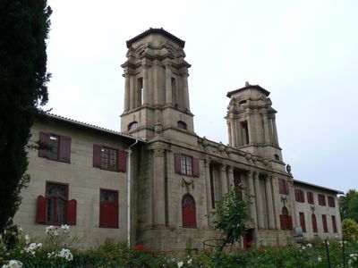
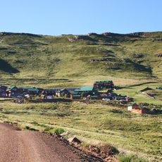
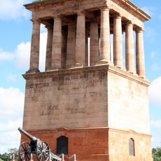
The name recalls the Orange Free State republic and refers to the political independence sought by earlier settlers in the 19th century. Visitors today notice the rural communities and small towns scattered across wide plains.

Main roads pass through the province and connect urban centers, with Bloemfontein serving as a central hub. Travelers find paved routes between major towns, while rural areas are sometimes reached by gravel roads.

The province supplies most of South Africa's grain and shapes the food security of the country. Endless fields of maize, wheat, and sunflowers dominate the landscape between small settlements.

The community of curious travelers

AroundUs brings together thousands of curated places, local tips, and hidden gems, enriched daily by 60,000 contributors worldwide.

Start exploring
Location
Inception
April 27, 1994
Capital city
Bloemfontein
Elevation above the sea
1,293 m
Reference
FS
Shares border with
Northern Cape, North West, Mpumalanga, KwaZulu-Natal, Eastern Cape, Mohale's Hoek District, Mafeteng District, Maseru District, Berea District, Leribe District, Butha-Buthe District, Mokhotlong District, Gauteng
GPS coordinates
-28.00000,27.00000
Latest update
December 15, 2025 00:39
« Free State - Province in central South Africa » is provided by Around Us (aroundus.com). Images and texts are derived from Wikimedia project under a Creative Commons license. You are allowed to copy, distribute, and modify copies of this page, under the conditions set by the license, as long as this note is clearly visible.

Discover hidden gems everywhere you go!

From secret cafés to breathtaking viewpoints, skip the crowded tourist spots and find places that match your style. Our app makes it easy with voice search, smart filtering, route optimization, and insider tips from travelers worldwide. Download now for the complete mobile experience.

Around Us App Screenshot

A unique approach to discovering new places

Le Figaro

All the places worth exploring

France Info

A tailor-made excursion in just a few clicks

20 Minutes

Around Us
Travel Guide & Maps
Download

Send to your phone

QR Code
1

Open the camera app on your mobile.

2

Point at the QR code with your camera. A notification will appear.

3

Tap the notification to open the link.