Hiker's Viewpoint, Scenic viewpoint in ǁKharas Region, Namibia
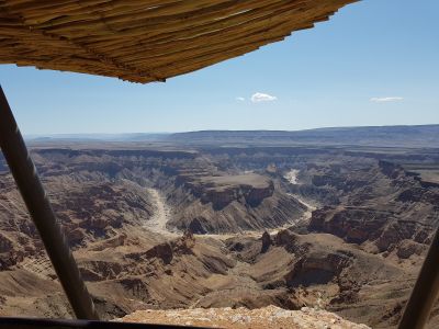
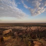
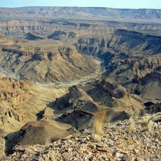
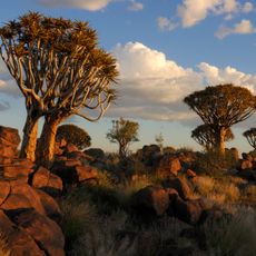
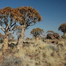
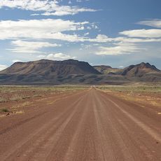
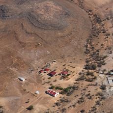
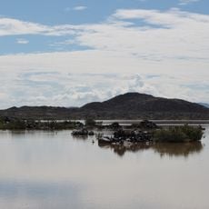
Hiker's Viewpoint is a scenic overlook in ǁKharas Region that offers views across desert terrain, rock formations, and ravines. The site is accessible via marked paths and provides open vistas across the landscape where scattered vegetation breaks up the surrounding terrain.
Indigenous peoples established travel routes through this region using elevated vantage points to observe seasonal patterns and animal movements. The choice of this location reflects how communities developed practical knowledge of the desert terrain over generations.
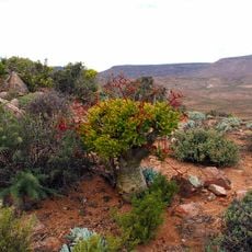
The location holds meaning for local communities as a traditional observation point, and visitors can sense this connection while standing at the overlook. Local guides share knowledge about native plants, animal tracks, and rock formations that reveal how people have understood this landscape over time.
Bring plenty of water, sun protection, and sturdy hiking shoes, as the location offers no facilities and experiences intense desert heat. Plan to arrive early and allow enough time to return before dark, as the terrain becomes difficult to navigate in low light.
The overlook captures striking light during sunrise and sunset when shadows deepen the ravines and color shifts across the rock faces. These times of day reveal details of the landscape that remain hidden under the bright midday sun.
The community of curious travelers
AroundUs brings together thousands of curated places, local tips, and hidden gems, enriched daily by 60,000 contributors worldwide.