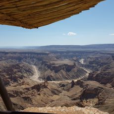
Bogenfels, Natural arch near Lüderitz, Namibia
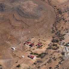
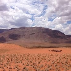
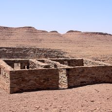
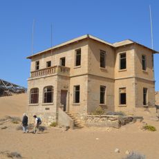
Bogenfels is a 55-metre-high rock arch near Elisabethbucht, about 100 km south of Lüderitz in Namibia's coastal Namib Desert. The arch is made of hard dolomite mixed with soft shale, forming a bridge-like opening close to the South Atlantic shore. A short distance away lies the abandoned settlement of Bogenfels, evacuated in 1950 and now a ghost town.
The arch formed through natural erosion over millions of years as ocean currents carved away soft rock and shaped it into its present form. The area came under strict control after diamond discoveries in the early 1900s and remained restricted to the public for decades.
The name is German for "arch rock", a term already marked on colonial maps of German South West Africa around 1900. The arch appears on stamps issued by South West Africa and later Namibia between 1931 and 1996, a detail found on older stamp albums rather than on site.
Bogenfels lies in the Tsau-ǁKhaeb (Sperrgebiet) National Park, about 95 km south of Lüderitz and 32 km south of Pomona, and can only be visited on an official guided tour. The terrain is rough and the arch stands close to the coast, so plan for a long day out from Lüderitz.
Bogenfels was depicted on stamps issued by South West Africa and later Namibia between 1931 and 1996, which spread the arch's image far beyond the restricted diamond zone. The site also appeared on German colonial maps of Deutsch-Südwestafrika around 1900, before diamonds were found nearby.
The community of curious travelers
AroundUs brings together thousands of curated places, local tips, and hidden gems, enriched daily by 92,881 contributors worldwide.