Sperrgebiet, Nature reserve in southwestern Namibia
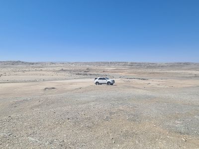
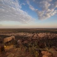
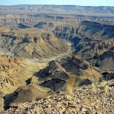
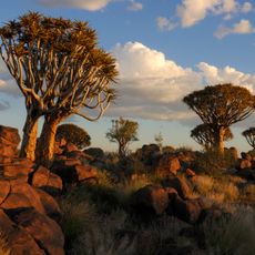
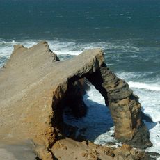
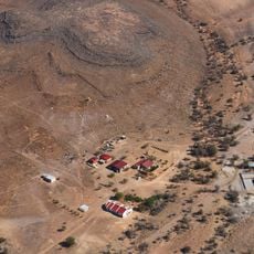
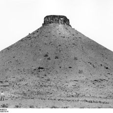
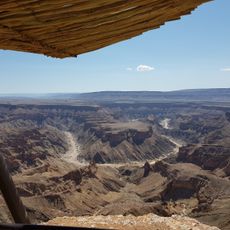
Sperrgebiet is a national park in southwestern Namibia featuring vast sand dunes, gravel plains, and a rugged Atlantic coastline. The terrain displays desert landscapes where wind and water continuously shape the red sand formations.
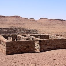
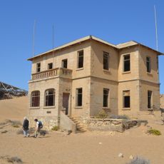
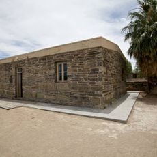
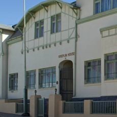
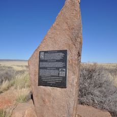
Diamond mining shaped the region's use from the late 1800s onward and kept the area under restricted access for decades. The area became a national park in 2008, ending its period as a controlled mining zone.
Local communities have maintained deep knowledge of the desert and its plants over centuries. Visitors today can learn about these traditional connections through guided tours led by people with family ties to the region.
Entry requires special permits and visitors can only explore with authorized guides. Plan ahead for permit arrangements before your trip and check current requirements for your group size.
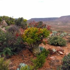
Long isolation has created plant species found nowhere else on Earth. These rare forms thrive in extreme conditions and show how life adapts to one of the harshest environments.
The community of curious travelers
AroundUs brings together thousands of curated places, local tips, and hidden gems, enriched daily by 60,000 contributors worldwide.