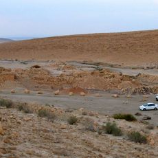
מגלש
Location: מועצה אזורית תמר
GPS coordinates: 31.03429,35.20834
Latest update: November 11, 2025 18:40
Mezad Tamar
3.4 km
מישור ימין
6.7 km
Ma'ale Hatsera
4.4 km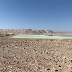
תצפית בריכות אידוי
4.9 km
מצפה עורץ
7.8 km
Mitzpe Tzukim
10 km
מצפור מזר
8.8 km
Scenic viewpoint
7.9 km
Scenic viewpoint
8.1 km
אבן חול צבעונית
4.8 km
Scenic viewpoint
7.8 km
Scenic viewpoint
7 km
Scenic viewpoint
6.1 km
Scenic viewpoint
9.5 km
Ashmada Gate
9.3 km
Scenic viewpoint
6.3 km
Scenic viewpoint
6.3 km
Colored Sand
8.6 km
Mt. Tzvaim viewoint
3.7 km
Scenic viewpoint
5.8 km
דוד אייזנברג
4.3 km
מגדל תמר
3 km
מדרגות דרך רומית
6.5 km
Ruins
5.8 km
Waterfall
6.9 km
Waterfall
6.5 km
Waterfall
7.4 km
Waterfall
6.5 kmReviews
Visited this place? Tap the stars to rate it and share your experience / photos with the community! Try now! You can cancel it anytime.
Discover hidden gems everywhere you go!
From secret cafés to breathtaking viewpoints, skip the crowded tourist spots and find places that match your style. Our app makes it easy with voice search, smart filtering, route optimization, and insider tips from travelers worldwide. Download now for the complete mobile experience.

A unique approach to discovering new places❞
— Le Figaro
All the places worth exploring❞
— France Info
A tailor-made excursion in just a few clicks❞
— 20 Minutes