מטוס עיט מטרה
Location: מועצה אזורית הערבה התיכונה
GPS coordinates: 30.75522,35.17149
Latest update: October 15, 2025 21:42
Metsad Hatseva
9.3 km
Ein Husub Police Station
9.2 km
תצפית ארי
8.7 km
Scenic viewpoint
13.2 km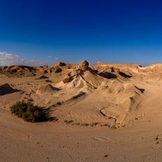
ה"גלידה"
11 km
מגדל תצפית
13.2 km
יאיר טויטו
11.2 km
Peace lookout
12 km
מצפור שיזף
8.4 km
ציורי סלע
7.1 km
Scenic viewpoint
6.6 km
מצפור עין שחק
3.2 km
Memorial
11.1 km
דפי גיר
1.4 km
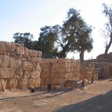
Archaeological site
11.4 km
קשת טבעית
11.6 km
עין מרזב
11.8 km
Scenic viewpoint
8.7 km
אנדרטת שמוליק לוי
12 km
Chocolital
12.2 km
טיולי תומקאר
12.2 km
Waterfall
12.5 km
Porat farm honey bee keeper's and visitor center
12.7 km
שדה בולבוסים
12.8 km
Bulbusim Field
13 km
חוות סי-גל דגי נוי
13.1 km
עיט 235
814 m
עיט 232
228 mReviews
Visited this place? Tap the stars to rate it and share your experience / photos with the community! Try now! You can cancel it anytime.
Discover hidden gems everywhere you go!
From secret cafés to breathtaking viewpoints, skip the crowded tourist spots and find places that match your style. Our app makes it easy with voice search, smart filtering, route optimization, and insider tips from travelers worldwide. Download now for the complete mobile experience.

A unique approach to discovering new places❞
— Le Figaro
All the places worth exploring❞
— France Info
A tailor-made excursion in just a few clicks❞
— 20 Minutes