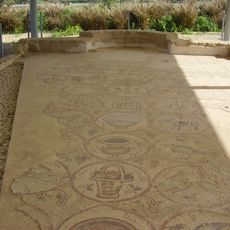
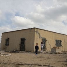
بلدية خزاعة
Location: خزاعة
Address: شارع السلام
GPS coordinates: 31.30775,34.36220
Latest update: October 15, 2025 21:42

Maon Synagogue
4.4 km
Bait HaLavan
4 km
Monument
5.2 km
Alzanna sport playgroung
5.3 km
غ
2.2 km
חורבת אבו סיתה
4.1 km
صندوق نور
2.3 km
فيلا وائل
2.4 km
السيد خليل ابو ماهر
2.5 km
ديوان الحاج سلمان أبو وائل
2.5 km
ايدوكيد - نزيها
2.6 km
ايديوكيد - هشام
2.8 km
2
3.5 km
احمد ابو درج
4.1 km
صالة العاب النجار
260 m
مقبرة الشهداء بحي النجار
208 m
منزل ابو سليمان النجار
233 m
يوسف ابو درج
4.1 km
دوار ابو النجا
4.2 km
حمزة شراب
4.4 km
ديوان آل النجار
178 m
شارع القدس
4.8 km
Monument
5 km
Unknown Soldier
5.1 km
بيت جدي استراحة كوفي شوب
4.1 km
بلدية بني سهيلا
5.3 km
دوار الساقية
2.3 km
حارة القهوجي
5.4 kmReviews
Visited this place? Tap the stars to rate it and share your experience / photos with the community! Try now! You can cancel it anytime.
Discover hidden gems everywhere you go!
From secret cafés to breathtaking viewpoints, skip the crowded tourist spots and find places that match your style. Our app makes it easy with voice search, smart filtering, route optimization, and insider tips from travelers worldwide. Download now for the complete mobile experience.

A unique approach to discovering new places❞
— Le Figaro
All the places worth exploring❞
— France Info
A tailor-made excursion in just a few clicks❞
— 20 Minutes