長瀞舟下り
Location: 長瀞町
Opening Hours: Lunes-Domingo 09:00-16:00
GPS coordinates: 36.09401,139.11037
Latest update: November 15, 2025 17:10
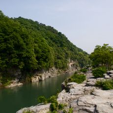
Nagatoro Valley
646 m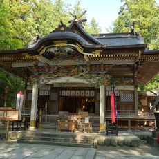
Hodosan Shrine
660 m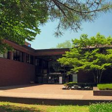
Saitama Museum of Natural History
884 m
Tenjin'yama Castle
3 km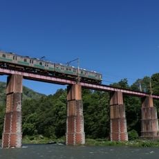
Arakawa Bridge
1.2 km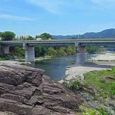
親鼻橋
1.4 km
Kanaishi-suikan Bridge
1.3 km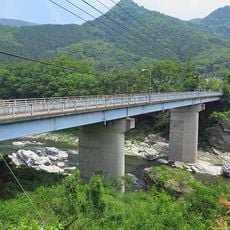
Takasago Bridge
1.9 km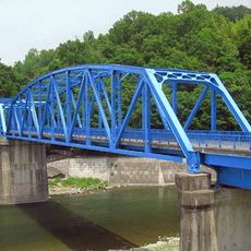
栗谷瀬橋
2 km
Minano Bridge
3.7 km
Muku-jinja
3.7 km
Nagatoro Town Museum
306 m
Nagatoro observatory
3.4 km
Mission Hills Country Club
2 km
長瀞岩畳
501 m
宝登山小動物公園
1.7 km
岩畳
493 m
Work of art, sculpture
2.1 km
Statue, Work of art
4.1 km
Statue, Work of art
2.1 km
長瀞カントリークラブ
4.2 km
Scenic viewpoint
3.6 km
法善寺のしだれ桜
1.8 km
Gorge viewpoint
619 m
Scenic viewpoint
4.2 km
相生の松
645 m
Wayside shrine
2.5 km
Wayside shrine
2.3 kmReviews
Visited this place? Tap the stars to rate it and share your experience / photos with the community! Try now! You can cancel it anytime.
Discover hidden gems everywhere you go!
From secret cafés to breathtaking viewpoints, skip the crowded tourist spots and find places that match your style. Our app makes it easy with voice search, smart filtering, route optimization, and insider tips from travelers worldwide. Download now for the complete mobile experience.

A unique approach to discovering new places❞
— Le Figaro
All the places worth exploring❞
— France Info
A tailor-made excursion in just a few clicks❞
— 20 Minutes