冒険の丘
Location: 西伊興
Location: 足立区
GPS coordinates: 35.79281,139.77225
Latest update: November 18, 2025 18:35

Tamanoi stable
950 m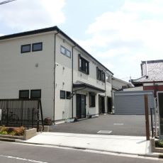
Jōkō-ji
1.3 km
Zengaku-ji
1.3 km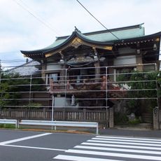
永昌院
782 m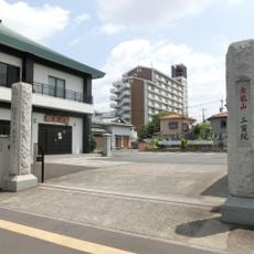
Entsū-ji
1.3 km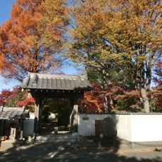
Yakushi-ji
1.3 km
実相院 (足立区)
946 m
Honnō-ji
897 m
Seitoku-ji
648 m
Myōren-ji
1 km
長勝寺
1.2 km
Shinkoku-ji
1.3 km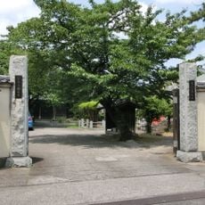
Nankō-ji
1.2 km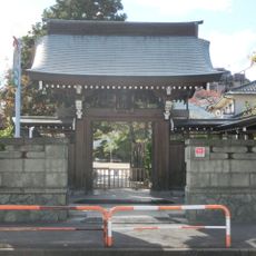
福寿院 (足立区伊興)
910 m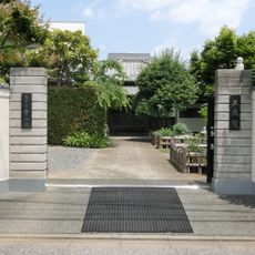
Sanzō-in
1.1 km
Kojiya Tenso-jinja
1 km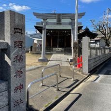
Saranuma Inari-jinja
674 m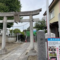
Oshibe Hachiman-jinja
1.4 km
Nishi-Arai Kaminari-jinja
1.3 km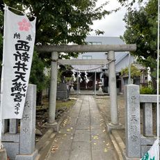
Nishi-Arai-tenmangū
982 m
Konishijima Sugawara-jinja
1.2 km
Toneri JIzō-dō
1.2 km
Sledding
792 m
Work of art, sculpture
299 m
Wayside shrine
1.3 km
番神堂
992 m
協和小学校跡
1.3 km
稗田神社
665 mReviews
Visited this place? Tap the stars to rate it and share your experience / photos with the community! Try now! You can cancel it anytime.
Discover hidden gems everywhere you go!
From secret cafés to breathtaking viewpoints, skip the crowded tourist spots and find places that match your style. Our app makes it easy with voice search, smart filtering, route optimization, and insider tips from travelers worldwide. Download now for the complete mobile experience.

A unique approach to discovering new places❞
— Le Figaro
All the places worth exploring❞
— France Info
A tailor-made excursion in just a few clicks❞
— 20 Minutes