Community hiking point
Location: Banepa
Address: community hiking trail
Phone: +9779841432703
GPS coordinates: 27.64167,85.47787
Latest update: October 24, 2025 10:31
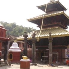
Chandeshwari temple
5.4 km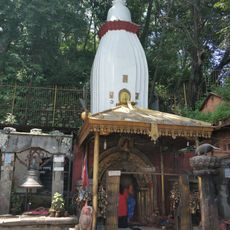
Suryavinayak Temple
5.6 km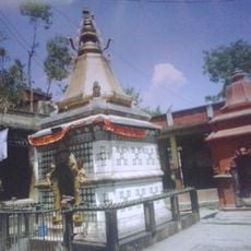
Dhaneshwor Temple
4.5 km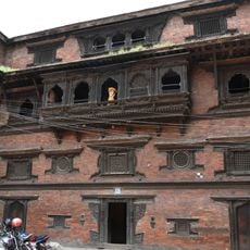
Pujarimath Museum
5.5 km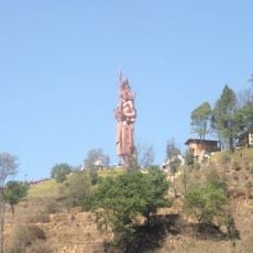
Kailashnath Mahadev Statue
572 m
Rajan home
4.5 km
Dattatraya Temple
5.5 km
Barahi ko paato
5.7 km
Sanga Gate
58 m
Acidhouse
3.4 km
Easy job solution pvt.ltd
4.7 km
Jagga
3.3 km
Sanga--Panauti hiking starting point
3 m
Sanga Pond
59 m
कैलाशनाथ महादेव मूर्ति / Kailashnath Mahadev Statue
621 m
Bhimsen Temple
5.5 km
International Green Developers Nepal
4.5 km
Sanjivani Krishi farm
4.1 km
Pilot Baba Ashram
5.5 km
Anjanee
4.4 km
Metal workshop
3.9 km
Chandika house
4.5 km
Ramesh Gwachha's House
3.7 km
Panorama of Banepa Valley & Himalaya Mountains
3.8 km
Latarambeshwor view point.
818 m
Changunarayan Organic Krishi Tatha Pashupanchhi Farm
4.7 km
Chamkharka Danda
4.8 km
Dudamukh park
3.9 kmReviews
Visited this place? Tap the stars to rate it and share your experience / photos with the community! Try now! You can cancel it anytime.
Discover hidden gems everywhere you go!
From secret cafés to breathtaking viewpoints, skip the crowded tourist spots and find places that match your style. Our app makes it easy with voice search, smart filtering, route optimization, and insider tips from travelers worldwide. Download now for the complete mobile experience.

A unique approach to discovering new places❞
— Le Figaro
All the places worth exploring❞
— France Info
A tailor-made excursion in just a few clicks❞
— 20 Minutes