Trail marker
Location: Gosaikunda-04
Location: Gosaikunda
GPS coordinates: 28.20523,85.56227
Latest update: November 13, 2025 15:01
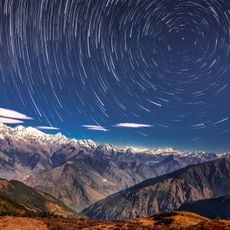
Langtang National Park
3.6 km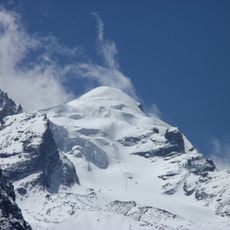
Baden-Powell Peak
5.1 km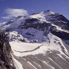
Yala Peak
7.2 km
Ḍāgpāche
7.1 km
Yale Glacier
6.3 km
Yala Glacier
6.4 km
Lirung Glacier
5.1 km
Kyimoshung Glacier
3.9 km
Work of art
6.6 km
Ganja La Pass
4.6 km
Suspension bridge
852 m
Trail marker
106 m
Trail exits the forest and becomes much easier to follow
377 m
Tibetan flags
3.8 km
Trail markers
435 m
Lower Kyāṅjiṅ Ri
1.6 km
Glacier View point
2.6 km
Solar panel
108 m
View of glacier
851 m
Viewpoint
5.2 km
Stupa
1.1 km
Memorial
753 m
Mani wall
4.9 km
Earthquake's victims memorial
5.6 km
Stupa
1.2 km
Cattle Shed Ruins
3.2 km
Waterfall
893 m
Waterfall
4 kmReviews
Visited this place? Tap the stars to rate it and share your experience / photos with the community! Try now! You can cancel it anytime.
Discover hidden gems everywhere you go!
From secret cafés to breathtaking viewpoints, skip the crowded tourist spots and find places that match your style. Our app makes it easy with voice search, smart filtering, route optimization, and insider tips from travelers worldwide. Download now for the complete mobile experience.

A unique approach to discovering new places❞
— Le Figaro
All the places worth exploring❞
— France Info
A tailor-made excursion in just a few clicks❞
— 20 Minutes