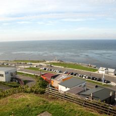
Танк
Location: Невельский городской округ
GPS coordinates: 45.92806,142.04080
Latest update: November 20, 2025 14:52
Cape Sōya
45.8 km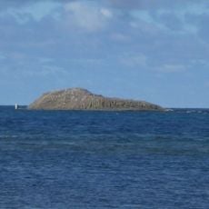
Benten-jima
45.7 km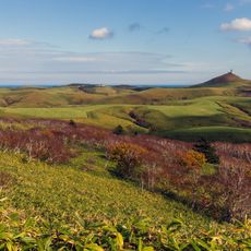
Soya Hills
50.4 km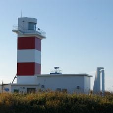
Sōyamisaki Lighthouse
46 km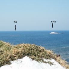
Hirashima
46 km
西能登呂岬灯台
4.7 km
Sōyamisaki Shrine
46 km
てっぺんドーム
45.8 km
間宮林蔵
45.8 km
Крепость Сиракуси
2.3 km
Танк
185 m
Танк
146 m
Танк
110 m
Танк
69 m
宗谷丘陵
50.6 km
宗谷岬展望台
45.9 km
Memorial
47.2 km
日本最北端の地
45.8 km
流氷館
45.9 km
ラ・ペルーズ顕彰記念碑
46 km
あけぼの像
46 km
Ирша
6 km
Анастасии
13.4 km
Атласовский
11.1 km
Шебунинский
54.4 km
Шестомской северный
10.9 km
Waterfall
49.5 km
Waterfall
48.9 kmReviews
Visited this place? Tap the stars to rate it and share your experience / photos with the community! Try now! You can cancel it anytime.
Discover hidden gems everywhere you go!
From secret cafés to breathtaking viewpoints, skip the crowded tourist spots and find places that match your style. Our app makes it easy with voice search, smart filtering, route optimization, and insider tips from travelers worldwide. Download now for the complete mobile experience.

A unique approach to discovering new places❞
— Le Figaro
All the places worth exploring❞
— France Info
A tailor-made excursion in just a few clicks❞
— 20 Minutes