Adam's Grave
Location: Mannar District
Opening Hours: 24/7
GPS coordinates: 9.09120,79.70138
Latest update: November 17, 2025 15:01
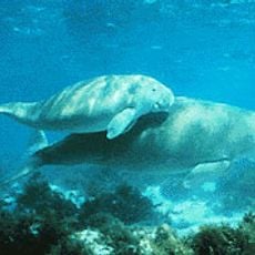
Gulf of Mannar Marine National Park
25.7 km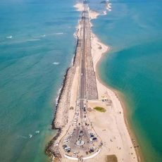
Dhanushkodi Beach
40.1 km
Ketheeswaram temple
34.2 km
Kothandaramaswamy Temple
41.9 km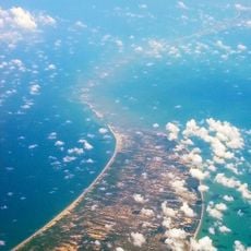
Adam's Bridge Marine National Park
8.3 km
Arippu Fort
41.7 km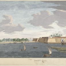
Mannar Fort
27 km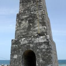
Queen's Tower
42.8 km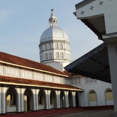
St. Sebastian's Cathedral, Mannar
25.8 km
Mannar Bridge
27.9 km
Arippu Bridge
42.1 km
Vankalai Sanctuary
29.5 km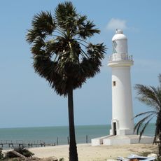
Talaimannar Lighthouse
3.7 km
Old Thalaimannar Lighthouse
451 m
Mannar Dutch Fort
27 km
Baobab Tree
27.3 km
Keeri beach
22.4 km
Queen's Tower
42.8 km
Baobab tree
27.2 km
Kothandaramaswamy
41.9 km
Danushkodi panorama
28.5 km
Thalaimannar Islands Viewpoint
680 m
Sri Rama's Bridge Viewpoint
1.1 km
அரிச்சல் முனை
28.5 km
St. Mary's Catholic Church
25.8 km
Arippu Dutch Fort
41.6 km
Narapadu Dutch Tower
17.6 km
Wayside shrine
27.3 kmReviews
Visited this place? Tap the stars to rate it and share your experience / photos with the community! Try now! You can cancel it anytime.
Discover hidden gems everywhere you go!
From secret cafés to breathtaking viewpoints, skip the crowded tourist spots and find places that match your style. Our app makes it easy with voice search, smart filtering, route optimization, and insider tips from travelers worldwide. Download now for the complete mobile experience.

A unique approach to discovering new places❞
— Le Figaro
All the places worth exploring❞
— France Info
A tailor-made excursion in just a few clicks❞
— 20 Minutes