Ruins
Location: Samarqand shahri
GPS coordinates: 39.67548,66.98723
Latest update: November 10, 2025 18:18

Afrasiyab
464 m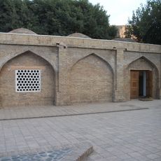
Khodja Doniyor Mausoleum
668 m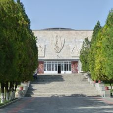
Afrasiab Museum of Samarkand
861 m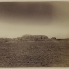
Kafir-kala
327 m
Makhsumbobo Mausoleum
1.4 km
Fort at Samarkand, Afrosiab
247 m
Archaeological site
1.1 km
Archaeological site
480 m
View of old city ruins
600 m
Scenic viewpoint
765 m
Tuman Oko
1.4 km
Memorial of Jewish Soldiers in World War ll
1.1 km
Tomb
669 m
Archaeological site
752 m
Ruins
98 m
Archaeological site
743 m
Archaeological site
982 m
Gate locked
1.3 km
Archaeological site
475 m
Archaeological site
136 m
Archaeological site
363 m
Archaeological site
655 m
Archaeological site
390 m
Archaeological site
232 m
Archaeological site
832 m
Archaeological site
768 m
Archaeological site
731 m
Commemorative plaque, memorial
518 mReviews
Visited this place? Tap the stars to rate it and share your experience / photos with the community! Try now! You can cancel it anytime.
Discover hidden gems everywhere you go!
From secret cafés to breathtaking viewpoints, skip the crowded tourist spots and find places that match your style. Our app makes it easy with voice search, smart filtering, route optimization, and insider tips from travelers worldwide. Download now for the complete mobile experience.

A unique approach to discovering new places❞
— Le Figaro
All the places worth exploring❞
— France Info
A tailor-made excursion in just a few clicks❞
— 20 Minutes