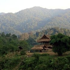
Tam Thai
Location: Huyện Tương Dương
GPS coordinates: 19.23435,104.53147
Latest update: October 15, 2025 22:05
Pu Mat National Park
31.4 km
Western Nghe An
40.8 km
Nam Kading National Protected Area
97 km
Phu Mate
28.2 km
Phou Tam Hon
87.8 km
Plain of Jars Site 23
94.4 km
Tad Kha Fall
80.4 km
Scenic viewpoint
34.5 km
Road to kem thác waterfall
41.6 km
Mường Đán
63.7 km
Thác Sao Va
64.2 km
QUÁN CƠM
76.7 km
Road to Tad Kha Waterfall
78.4 km
Thac Kem
40.8 km
Cột mốc km số 0 - Đường mòn Hồ Chí Minh
80.4 km
Monument
80.4 km
Waterfall
87.3 km
Thac Kem
40.8 km
Scenic viewpoint
88.7 km
Scenic viewpoint
89 km
This road is paved and in good condition
89.3 km
Road is sealed from Mok to Khun 100km approx
90.8 km
Scenic viewpoint
92.6 km
Plain of Jars Site 23
94.4 km
Điểm nghe vượn
34.4 km
Nam Hone Hot Springs
95.8 km
Scenic viewpoint
96.6 km
Tea plantation
96.9 kmReviews
Visited this place? Tap the stars to rate it and share your experience / photos with the community! Try now! You can cancel it anytime.
Discover hidden gems everywhere you go!
From secret cafés to breathtaking viewpoints, skip the crowded tourist spots and find places that match your style. Our app makes it easy with voice search, smart filtering, route optimization, and insider tips from travelers worldwide. Download now for the complete mobile experience.

A unique approach to discovering new places❞
— Le Figaro
All the places worth exploring❞
— France Info
A tailor-made excursion in just a few clicks❞
— 20 Minutes