Tương Dương, district in North Central Coast, Vietnam
Location: Nghệ An
Elevation above the sea: 152 m
GPS coordinates: 19.26278,104.47194
Latest update: March 15, 2025 07:30

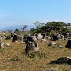
Plain of Jars
139.8 km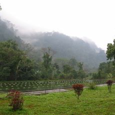
Cuc Phuong National Park
167.1 km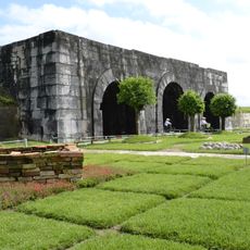
Citadel of the Hồ Dynasty
149.5 km
Lam Kinh
123 km
Kim Liên museum
131.5 km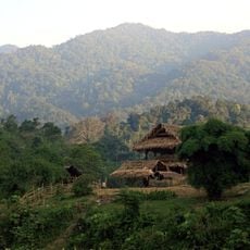
Pu Mat National Park
37.2 km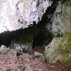
Tam Pa Ling Cave
153.2 km
Ben En National Park
117.4 km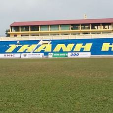
Thanh Hoa Stadium
149 km
Hải Hòa Beach
142.1 km
Vinh Stadium
142.3 km
Tham Kong Lo
148.6 km
Vinh Lang stele
123 km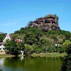
Wat Chetiya Khiriwihan
140.5 km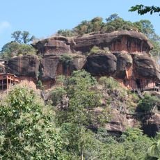
Phu Thok
140 km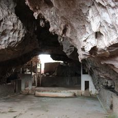
Viengxay caves
129.1 km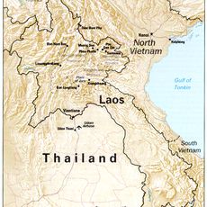
Phou Pha Thi
156.5 km
Wat Phuttha Nimit
168.4 km
Wat Sawang Arom
162.8 km
Assumption Cathedral, Xã Đoài
131.5 km
Nam Tok Chet Si
134.5 km
Muang Xiangkhoang
116.4 km
Phou Namxa Noi
81.7 km
Phou Déng
170.1 km
San Pakha
101.5 km
Phou Déhan
122.8 km
Phou Gnotxam (tumoy sa bukid)
152.9 km
Phou Nam Mon
80.9 kmReviews
Visited this place? Tap the stars to rate it and share your experience / photos with the community! Try now! You can cancel it anytime.
Discover hidden gems everywhere you go!
From secret cafés to breathtaking viewpoints, skip the crowded tourist spots and find places that match your style. Our app makes it easy with voice search, smart filtering, route optimization, and insider tips from travelers worldwide. Download now for the complete mobile experience.

A unique approach to discovering new places❞
— Le Figaro
All the places worth exploring❞
— France Info
A tailor-made excursion in just a few clicks❞
— 20 Minutes