Citadel of the Hồ Dynasty, UNESCO World Heritage fortress in Vĩnh Lộc District, Vietnam
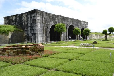
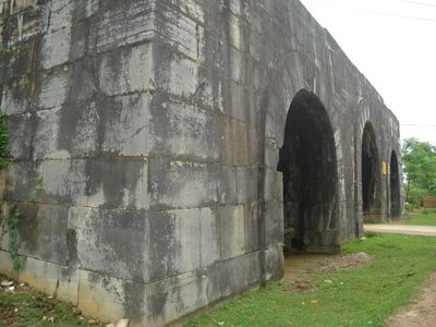
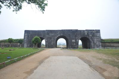
The rectangular stone compound extends 870 meters from north to south and 883 meters from east to west, with four monumental gates marking each cardinal direction. Within the perimeter walls lie archaeological remains of administrative buildings and military structures. The outer walls reach up to four meters in thickness and vary between five and seven meters in height.
The citadel served as the western capital from 1398 to 1407 during the Hồ Dynasty and functioned as an administrative and military center. Hồ Quý Ly ordered construction after overthrowing the Trần Dynasty. Following the Ming invasion in 1407, the compound fell under Chinese control until Vietnamese forces recaptured the area decades later. The site gradually fell into obscurity after the dynasty change.
The fortress embodies traditional Vietnamese cosmology and served as a model for the ideal city according to Confucian teachings. The layout symbolically follows concepts of the Middle Kingdom and shows Chinese urban planning influence on medieval architecture in the country. The site represents a brief but significant period of cultural development under Hồ family rule.
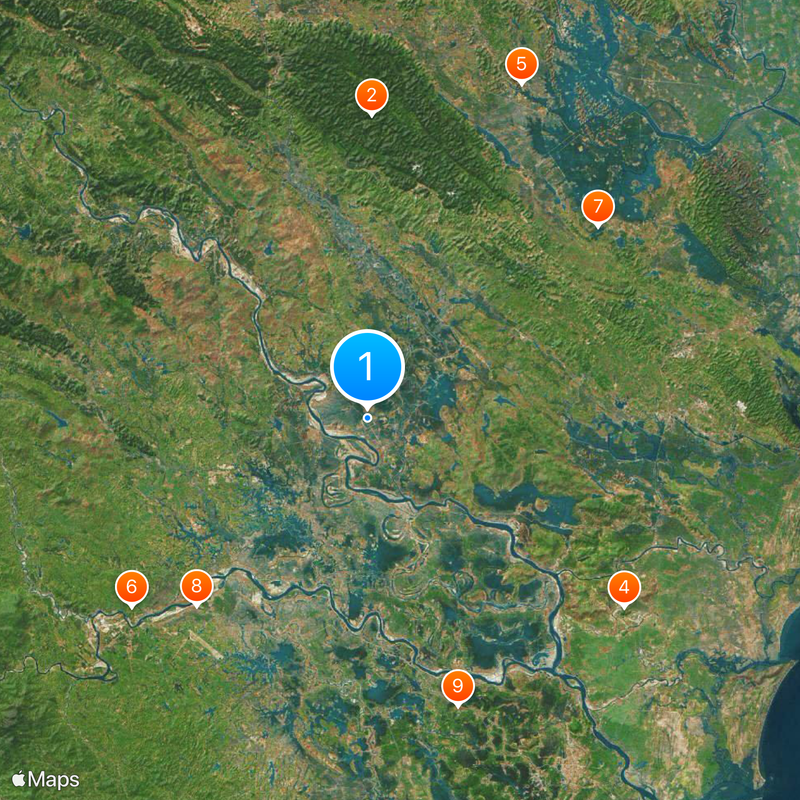
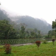
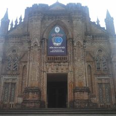
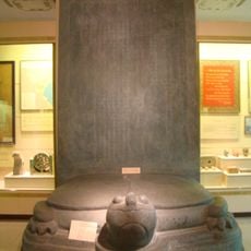
Visitors can access all four gates of the compound, with the southern entrance rising 9.5 meters (31 feet) high and extending 15 meters (49 feet) in width. The site lies approximately 150 kilometers (93 miles) south of Hanoi and is reachable via National Route 1A. A small visitor center on site provides exhibits about the dynasty history. The best visiting period is during the dry months from November through April.
The walls consist of massive stone blocks averaging two meters (six feet) in length, assembled without mortar yet maintaining structural integrity for over 600 years. The builders employed a precise cutting technique where surfaces were ground so exactly that blocks remain stable through their own weight. This construction method was exceptional for Southeast Asia at the time.
The community of curious travelers
AroundUs brings together thousands of curated places, local tips, and hidden gems, enriched daily by 60,000 contributors worldwide.