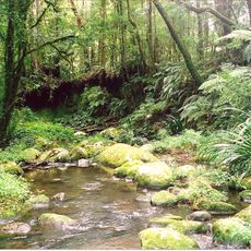
Cedargetters Signature
Location: Border Ranges
Location: Kyogle Council
GPS coordinates: -28.40926,153.02410
Latest update: November 22, 2025 10:50
Border Ranges National Park
4.3 km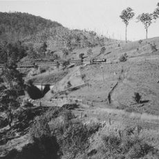
Cougal Spiral
8.5 km
Mount Chinghee National Park
14 km
Mebbin National Park
14.4 km
Wiangaree State Forest
5.3 km
Mebbin State Forest
13.1 km
Stinson Memorial
14.1 km
Jim Westray's Grave
14.2 km
Border Loop Lookout
8.9 km
Point Lookout
14 km
Pinnacle Lookout
10.4 km
Brushbox Falls Lookout
88 m
Bar Mountain Lookout
10.8 km
Blackbutt Lookout
12.1 km
Tweed Valley Lookout
9.1 km
Paddys Lookout
4.1 km
Memorial
10 km
Memorial
10 km
Waterfall
14 km
Running Creek Falls
11.1 km
Lamington Falls
12.8 km
Waterfall
14.3 km
Waterfall
8.9 km
Collins Creek Falls
11.6 km
Evans Falls
6.8 km
Horseshoe Falls
3.9 km
Selva Falls
7.2 km
Swanson Falls
7.8 kmReviews
Visited this place? Tap the stars to rate it and share your experience / photos with the community! Try now! You can cancel it anytime.
Discover hidden gems everywhere you go!
From secret cafés to breathtaking viewpoints, skip the crowded tourist spots and find places that match your style. Our app makes it easy with voice search, smart filtering, route optimization, and insider tips from travelers worldwide. Download now for the complete mobile experience.

A unique approach to discovering new places❞
— Le Figaro
All the places worth exploring❞
— France Info
A tailor-made excursion in just a few clicks❞
— 20 Minutes