Pompey Pillar
Location: Wee Jasper
Location: Yass Valley Council
GPS coordinates: -35.19912,148.60410
Latest update: October 11, 2024 01:32

Burrinjuck Dam
22.4 km
Mount Coree
22.3 km
Brindabella National Park
19 km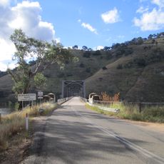
Taemas Bridge
30.9 km
Bendora Arboretum
30.5 km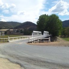
Wee Jasper Bridge over Goodradigbee River
12.1 km
Greater Burrinjuck Dam Site
23.6 km
Barren Jack Creek Water Supply Dam
22.1 km
Condor
30.8 km
Burrinjuck
25.9 km
Uriarra State Forest
28.4 km
Uriarra Hill
26.4 km
Mount Blundell
24.8 km
Cotter Storage Reservoir
31.5 km
Burrinjuck Reservoir
25.8 km
Bulls Head
28.2 km
Burrinjuck Waters Park
24.2 km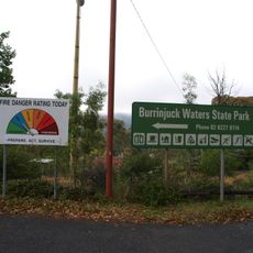
Burrinjuck State Recreation Area
24.2 km
Wee Jasper State Forest
6.3 km
Bungongo State Forest
19 km
Burrinjuck Waters State Park
24.2 km
Uriarra Crossing
32 km
Sherwood Homestead site
27.4 km
Conder Hut
27.4 km
Careys Cave
15 km
Lower Ginninderra Falls
31.4 km
Waterfall
26.1 km
Dubbo Falls
26.9 kmReviews
Visited this place? Tap the stars to rate it and share your experience / photos with the community! Try now! You can cancel it anytime.
Discover hidden gems everywhere you go!
From secret cafés to breathtaking viewpoints, skip the crowded tourist spots and find places that match your style. Our app makes it easy with voice search, smart filtering, route optimization, and insider tips from travelers worldwide. Download now for the complete mobile experience.

A unique approach to discovering new places❞
— Le Figaro
All the places worth exploring❞
— France Info
A tailor-made excursion in just a few clicks❞
— 20 Minutes