
Bungongo State Forest
Location: New South Wales
Elevation above the sea: 692 m
GPS coordinates: -35.05276,148.49636
Latest update: July 30, 2025 07:03
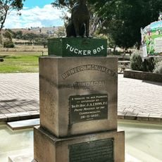
Dog on the Tuckerbox
35.6 km
Burrinjuck Dam
10.1 km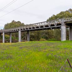
Prince Alfred Bridge
35.4 km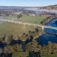
Sheahan Bridge
36.7 km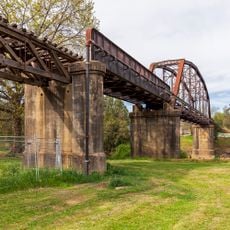
Murrumbidgee River railway bridge, Gundagai
35.8 km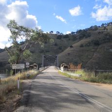
Taemas Bridge
32.7 km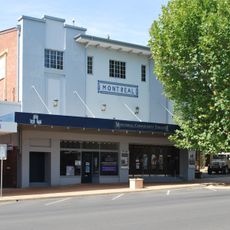
Montreal Community Theatre
37.2 km
Tumut Post Office
37.2 km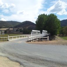
Wee Jasper Bridge over Goodradigbee River
18.1 km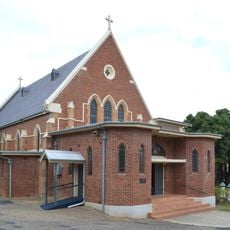
Saint Patrick's Church of Gundagai
35.5 km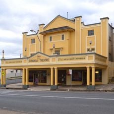
Gundagai Theatre
35.8 km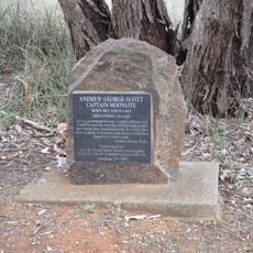
Captain Moonlite Monument
34.9 km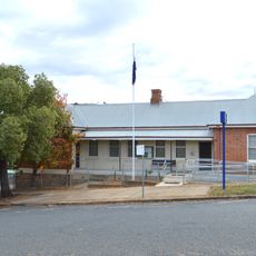
Gundagai Police Station
35.6 km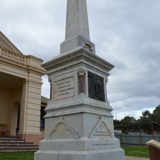
Boer War Memorial
35.6 km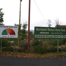
Burrinjuck State Recreation Area
13.6 km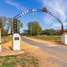
Anzac Park
36 km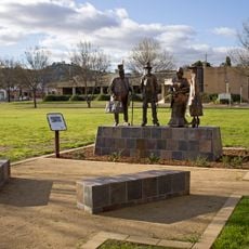
Carberry Park
36 km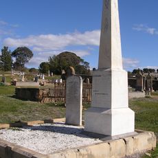
Sergeant Edmund Parry
34.9 km
Constable Edward Webb - Bowen
34.9 km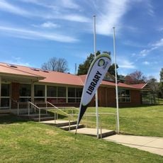
Gundagai Library
36 km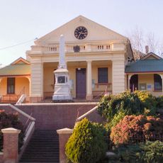
Gundagai Court House
35.6 km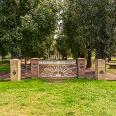
ANZAC Grove
36 km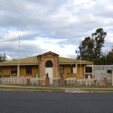
Gundagai Historical Museum
35.5 km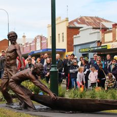
The Great Rescue of 1852
35.8 km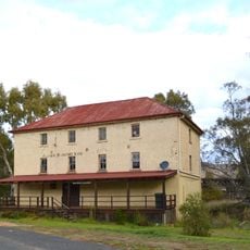
Gundagai Flour Mill
35.4 km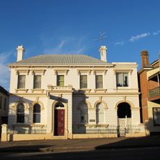
CBC Bank
35.7 km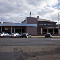
Gundagai District Services Club
36 km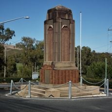
War Memorial
35.3 kmReviews
Visited this place? Tap the stars to rate it and share your experience / photos with the community! Try now! You can cancel it anytime.
Discover hidden gems everywhere you go!
From secret cafés to breathtaking viewpoints, skip the crowded tourist spots and find places that match your style. Our app makes it easy with voice search, smart filtering, route optimization, and insider tips from travelers worldwide. Download now for the complete mobile experience.

A unique approach to discovering new places❞
— Le Figaro
All the places worth exploring❞
— France Info
A tailor-made excursion in just a few clicks❞
— 20 Minutes