Statham Wetland
Location: Glen Forrest
Location: Shire Of Mundaring
GPS coordinates: -31.90847,116.10891
Latest update: October 15, 2025 22:11
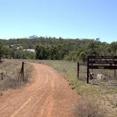
John Forrest National Park
4.7 km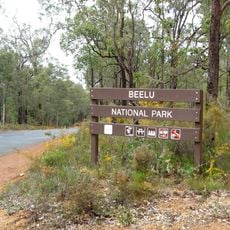
Beelu National Park
4.9 km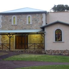
Darlington Hall
3.4 km
Greenmount National Park
4.3 km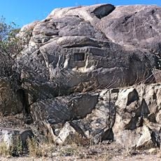
Chippers Leap
4.1 km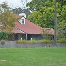
Mahogany Inn
2.6 km
Pipehead Reservoir
5 km
John Taylor Park
4.6 km
Wandu Park
4.4 km
Cairnhill Park
4.6 km
Nalya Park
4.8 km
Parkerville Recreation Ground
3.4 km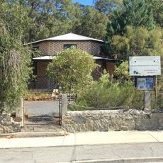
Glen Forrest Hall
871 m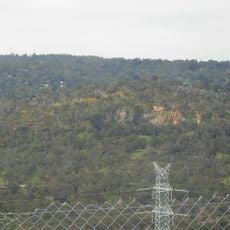
Government Quarries
4.4 km
Faversham
4.4 km
Leithdale
2.9 km
Mahogany Inn
2.6 km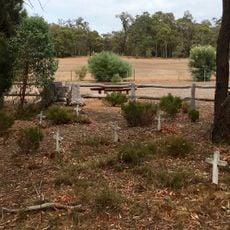
Parkerville Children's Home & Cemetery
4.8 km
Holmesdale
3.5 km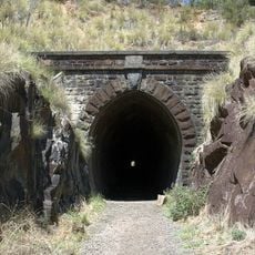
Eastern Railway Deviation
3.3 km
Eastern Railway - Three Bridges
3.3 km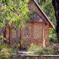
St Cuthbert's Anglican Church, Darlington
3.3 km
National Park Falls
3.9 km
Scenic viewpoint
4.7 km
The John Herington Memorial Picnic Area
4.7 km
Greenmount Lookout
4.6 km
Hovea Station
3.6 km
Hovea Falls
3.3 kmReviews
Visited this place? Tap the stars to rate it and share your experience / photos with the community! Try now! You can cancel it anytime.
Discover hidden gems everywhere you go!
From secret cafés to breathtaking viewpoints, skip the crowded tourist spots and find places that match your style. Our app makes it easy with voice search, smart filtering, route optimization, and insider tips from travelers worldwide. Download now for the complete mobile experience.

A unique approach to discovering new places❞
— Le Figaro
All the places worth exploring❞
— France Info
A tailor-made excursion in just a few clicks❞
— 20 Minutes