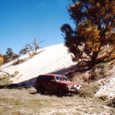
Milmed Rock
Location: Big Desert
Location: Shire of Hindmarsh
GPS coordinates: -35.65193,141.60312
Latest update: November 21, 2025 22:50
Wyperfeld National Park
18.9 km
Big Desert Wilderness Park
34.3 km
Murrayville railway station
57.6 km
East Beach
59.2 km
Kow Plains Homestead
49.7 km
Former Murrayville Consolidated School
57.7 km
Lookout Dune
35.6 km
Hopping Mouse Hill
27.4 km
Yurunga
44.2 km
Stasinowsky's Lime Kiln
34.6 km
Hermie Strauss Garden
22.5 km
White Springs Lookout
31 km
Underbool Golf Course
56.5 km
Patchewollock Golf Course
51.5 km
Baker Golf Club
47.2 km
O'Sullivan Lookout (approx)
36.9 km
Historic Mural
40.6 km
Hermans Hill Lookout
39.4 km
Hensleys Trig
58.9 km
Rainbow Golf Club
44.7 km
White Springs Lookout
30.8 km
Scenic viewpoint
41.4 km
Big Dune
31.1 km
Chinaman Flat
26.2 km
Bracky Well disused
39.6 km
Rainbow War Memorial
44.7 km
Livestock
50.9 km
Pioneer Memorial
56.9 kmReviews
Visited this place? Tap the stars to rate it and share your experience / photos with the community! Try now! You can cancel it anytime.
Discover hidden gems everywhere you go!
From secret cafés to breathtaking viewpoints, skip the crowded tourist spots and find places that match your style. Our app makes it easy with voice search, smart filtering, route optimization, and insider tips from travelers worldwide. Download now for the complete mobile experience.

A unique approach to discovering new places❞
— Le Figaro
All the places worth exploring❞
— France Info
A tailor-made excursion in just a few clicks❞
— 20 Minutes