Wyperfeld National Park, Nature reserve in Victoria, Australia
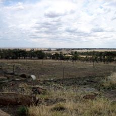
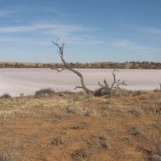
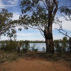
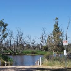
Wyperfeld National Park is a nature reserve in northwestern Victoria featuring mallee woodland, heathland, and numerous dry lake beds set across sandy, dune-like terrain. The landscape is shaped by interconnected waterways, including Outlet Creek, which links a chain of seasonal lakes through the park.
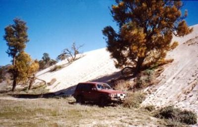
The region took shape between 40,000 and 15,000 years ago when sandy sediments transformed into dunes as ancient seas retreated from the area. These geological shifts created the foundation for the dry lake beds and varied landscape seen today.
The park is jointly managed by Parks Victoria and the Barengi Gadjin Land Council Aboriginal Corporation, reflecting the Wotjobaluk people's ongoing connection to their country. This partnership shapes how the land is cared for and how visitors are welcomed into this space.
Bring plenty of drinking water and check track conditions before exploring, especially when heading to remote areas where you may need a four-wheel drive vehicle. Planning ahead and being prepared for isolated sections makes your visit safer and more enjoyable.
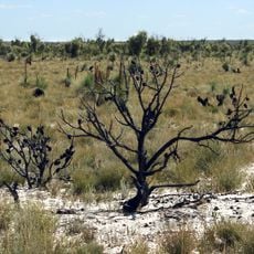
A chain of lakes flows through Outlet Creek but fills only under rare circumstances when the Wimmera River overflows into Lake Hindmarsh, turning the normally dry basins into water features. This occasional flooding reminds visitors how water scarcity shapes the character of this place.
The community of curious travelers
AroundUs brings together thousands of curated places, local tips, and hidden gems, enriched daily by 60,000 contributors worldwide.