The Opal Cave
Location: Lightning Ridge
Location: Walgett Shire Council
GPS coordinates: -29.42694,147.98038
Latest update: November 21, 2025 10:36

Collarenebri Aboriginal Cemetery
63.7 km
Australian Opal Centre
503 m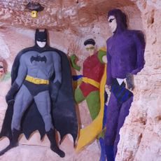
Chambers of the Black Hand
4 km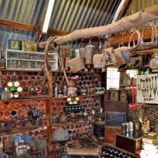
Bottle House Museum
692 m
Ulcinj Salina
63.4 km
Len Cram Park
1 km
Barwon Inn Rest Area
66.4 km
Walgett Weir
64.7 km
Spider Brown Oval
556 m
Woorawadian Weir
57 km
Roswell Artesian Wetlands
63.4 km
Narran Lake Nature Reserve
63.4 km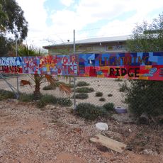
Lightning Ridge Library
450 m
Amigos Castle
930 m
Mural, Work of art
53.6 km
Bottle House
774 m
Gem Opal Pottery
707 m
Lightning Ridge Mining Centre
900 m
The Big Opal
3 km
Stanley
7.4 km
Lightning Ridge Golf Course
744 m
Lunatic Hill Open Cut
4.1 km
Lunatic Hill Open Cut
4.1 km
First Shaft Lookout
5.5 km
Stanley the Emu
7.4 km
The Ridge Castle
1.4 km
Ridge Castle
1.4 km
Cumborah 1896-1996
40.9 kmReviews
Visited this place? Tap the stars to rate it and share your experience / photos with the community! Try now! You can cancel it anytime.
Discover hidden gems everywhere you go!
From secret cafés to breathtaking viewpoints, skip the crowded tourist spots and find places that match your style. Our app makes it easy with voice search, smart filtering, route optimization, and insider tips from travelers worldwide. Download now for the complete mobile experience.

A unique approach to discovering new places❞
— Le Figaro
All the places worth exploring❞
— France Info
A tailor-made excursion in just a few clicks❞
— 20 Minutes