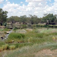
Stanley
Location: Lightning Ridge
Location: Walgett Shire Council
GPS coordinates: -29.49292,147.97148
Latest update: October 26, 2025 18:53
Brewarrina Aboriginal Fish Traps
119.7 km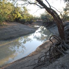
Culgoa National Park
112.4 km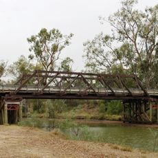
Mungindi Bridge
114 km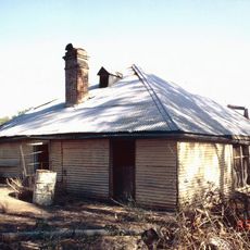
Bullamon Homestead
127.7 km
Cameron's 1 Ton Survey Post
109.9 km
Chambers of the Black Hand
3.7 km
Bottle House Museum
6.7 km
Mungindi Library
114.8 km
Narran Lake Nature Reserve
59.2 km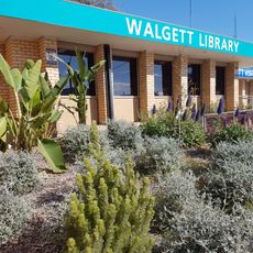
Walgett Library
60.7 km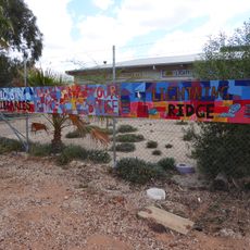
Lightning Ridge Library
7.2 km
Gem Opal Pottery
7.5 km
Collymongle Carved Trees
74.5 km
Bottle House
6.7 km
One Ton Post
110.5 km
Lightning Ridge Mining Centre
7 km
The Opal Cave
7.4 km
The Big Opal
4.6 km
Wall Art
119.6 km
Don Lillyman Indigenous Art Gallery
60.5 km
Amigos Castle
6.9 km
Mural, Work of art
60.3 km
Work of art
129.3 km
Sculpture, Work of art
129.3 km
Work of art, sculpture
114.2 km
Lunatic Hill Open Cut
3.4 km
Lunatic Hill Open Cut
3.4 km
First Shaft Lookout
8.4 kmReviews
Visited this place? Tap the stars to rate it and share your experience / photos with the community! Try now! You can cancel it anytime.
Discover hidden gems everywhere you go!
From secret cafés to breathtaking viewpoints, skip the crowded tourist spots and find places that match your style. Our app makes it easy with voice search, smart filtering, route optimization, and insider tips from travelers worldwide. Download now for the complete mobile experience.

A unique approach to discovering new places❞
— Le Figaro
All the places worth exploring❞
— France Info
A tailor-made excursion in just a few clicks❞
— 20 Minutes