Bun.gu Trail
Location: King Leopold Ranges
Location: Shire Of Derby-West Kimberley
GPS coordinates: -18.10882,125.69814
Latest update: November 23, 2025 21:46
Gogo Station
23.7 km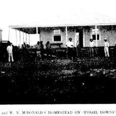
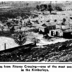
Fossil Downs Station
8.9 km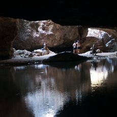
Tunnel Creek National Park
80.8 km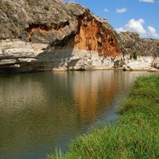
Geikie Gorge National Park
4.5 km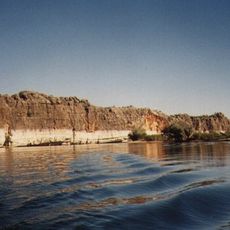
Geikie Gorge
4.6 km
Dimond Gorge
61.7 km
Eagle Falls
100.7 km
Casey Falls
80.7 km
Fitzroy Crossing Post Office
13.5 km
Fitzroy Crossing Police Group
13.7 km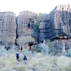
Mimbi Caves
80.6 km
Low Level Crossing, Fitzroy Crossing
13.3 km
Fitzroy Bluff
70 km
Sir John Gorge
84.4 km
Tunnel Creek
80.9 km
Fitzroy River
75.6 km
End of Reef Walk at Geikie Gorge NP
2.2 km
Mimbi Caves Visitor Car Park
79 km
Bluebush
79.2 km
Termite Trail
80.1 km
Dimond Gorge
63.8 km
Bluebush Wetlands
80.1 km
Old Fitzroy Crossing Townsite
13.5 km
Mangkaja Arts
16.6 km
Scenic viewpoint
83.4 km
Scenic viewpoint
83 km
Australian Inland Mission Frontier Services Hospital
13.2 km
War Memorial
17 kmReviews
Visited this place? Tap the stars to rate it and share your experience / photos with the community! Try now! You can cancel it anytime.
Discover hidden gems everywhere you go!
From secret cafés to breathtaking viewpoints, skip the crowded tourist spots and find places that match your style. Our app makes it easy with voice search, smart filtering, route optimization, and insider tips from travelers worldwide. Download now for the complete mobile experience.

A unique approach to discovering new places❞
— Le Figaro
All the places worth exploring❞
— France Info
A tailor-made excursion in just a few clicks❞
— 20 Minutes